Discover 11 hidden attractions, cool sights, and unusual things to do in Assynt (United Kingdom). Don't miss out on these must-see attractions: Stoer Head Lighthouse, Conival, and Sgurr an Fhidhleir. Also, be sure to include Beinn an Eoin in your itinerary.
Below, you can find the list of the most amazing places you should visit in Assynt (Scotland).
Table of Contents
Stoer Head Lighthouse
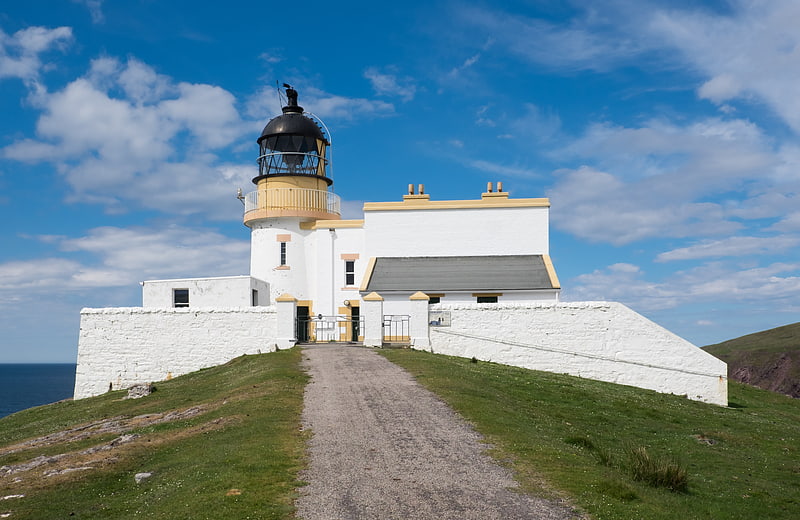
Stoer Head Lighthouse was built on Stoer Head by brothers David and Thomas Stevenson in 1870 after being identified as one of forty-five sites in Scotland where a lighthouse was necessary to protect shipping. The lighthouse is 45 feet high, making it squat in appearance, but the height of the cliffs on which it sits means it can be seen at a distance of 24 miles out at sea. The beacon flashes white every fifteen seconds.[1]
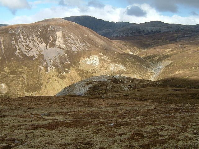
Conival
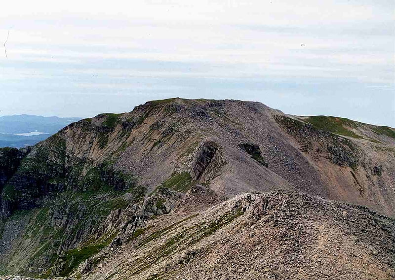
Mountain in Scotland. Conival is a Scottish mountain situated in Assynt in the Sutherland area of the Highland Council Area, thirty kilometres north-northeast of Ullapool.[2]
Sgurr an Fhidhleir
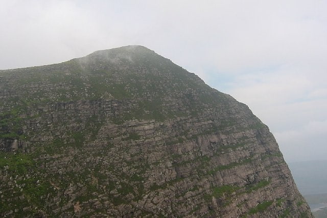
Mountain in Scotland. Sgurr an Fhidhleir is a mountain in the Northwest Highlands of Scotland. It lies in the Coigach area of Ross and Cromarty.
Its summit lies atop a spectacular vertical 500m high cliff. It is usually climbed in conjunction with the neighbouring Ben More Coigach. The nearest settlements are Badenscallie (5 km to the west) and other locations along the coast road south from Achiltibuie. The nearest larger settlement is Ullapool.[3]
Beinn an Eoin
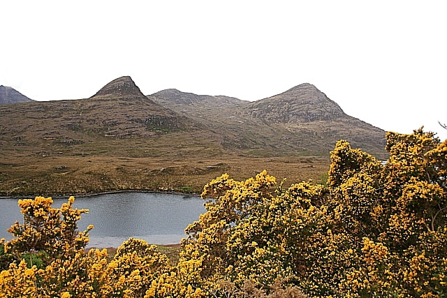
Mountain in Scotland. Beinn an Eoin is a mountain in the Northwest Highlands of Scotland. It lies in the remote Coigach area in the far northwest of Scotland, north of Ullapool.
One of the magnificent Coigach peaks, Beinn an Eoin has long crags on its western side and a notable subsidiary peak, Sgurr Tuath, to its north. The nearest settlement is Strathkanaird.[4]
Breabag
Mountain in Scotland. Breabag is a mountain in the Northwest Highlands of Scotland, in the Assynt area of Sutherland.
A flat-topped summit, it is usually climbed from its western flank, where the Bone Caves of Assynt are located. The nearest settlement is Inchnadamph.[5]
Beinn Leoid
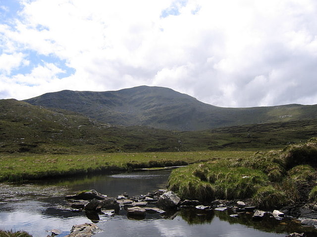
Mountain. Beinn Leoid is a mountain in the Northwest Highlands of Scotland. It lies in Sutherland, east of the village of Kylesku.
A very remote mountain, it provides fine views towards the coast from its summit.[6]
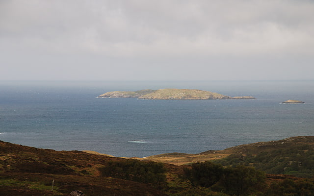
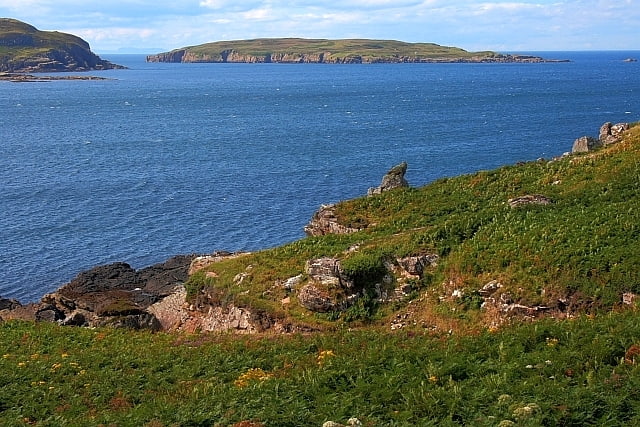
Soyea Island
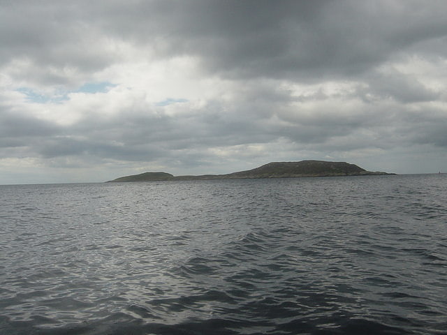
Island in Scotland. Soyea Island or Soyea is an uninhabited rocky island at the mouth of Loch Inver, in Assynt, Sutherland, in the council area of Highland, Scotland. It is three nautical miles west of Lochinver and two nautical miles south-southwest of Achmelvich. The Broad Rocks extend up to 400 yards from the eastern edge of Soyea Island. Measuring approximately 1⁄2 mile from east to west, its area is 20 hectares and it rises to an elevation of 38 metres. Soyea marks the entrance of the fishing harbour of Lochinver. Soyea Island has a yellow pedestal light on it.[7]
Calbha Beag
Island in Scotland. Calbha Beag is an uninhabited island in Eddrachillis Bay, off Sutherland, Highland, Scotland. It is immediately to the west of Calbha Mor.
An estimate of the area from Ordnance Survey suggest a figure of about 31 hectares (77 acres), although it has been listed by Rick Livingstone as totalling 45 hectares (110 acres), possibly including areas exposed at low tide.[8]
Eilean Mullagrach
Island in Scotland. Eilean Mullagrach is an island in the Summer Isles of Scotland. It is located in Highland council area, in the northwestern part of the country, 800 km northwest of the capital London. It is the most northerly of the Summer Isles. Its area is 29 hectares. It is 150 feet high.[9]
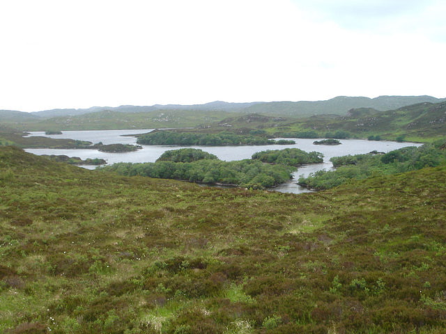
Loch Leitir Easaidh
Loch in Scotland. Loch Leitir Easaidh is a small shallow irregular shaped freshwater lochan that flows directly into the northwestern end of Loch Assynt in Assynt, Sutherland, Scotland. The loch is located in an area along with neighbouring Coigach, as the Assynt-Coigach National Scenic Area, one of 40 such areas in Scotland.[10]
Loch Beannach
Loch in Scotland. Loch Beannach is a small v-shaped loch, located 2 miles to the west of Loch Assynt and 3 miles northeast of Lochinver within the Assynt area of Sutherland, Scotland. The loch is located in an area known as the Assynt-Coigach National Scenic Area, one of 40 such areas in Scotland.[11]