Discover 11 hidden attractions, cool sights, and unusual things to do in Silver Flowe-Merrick Kells (United Kingdom). Don't miss out on these must-see attractions: Merrick, Merrick, and Loch Macaterick. Also, be sure to include Loch Enoch in your itinerary.
Below, you can find the list of the most amazing places you should visit in Silver Flowe-Merrick Kells (Scotland).
Table of Contents
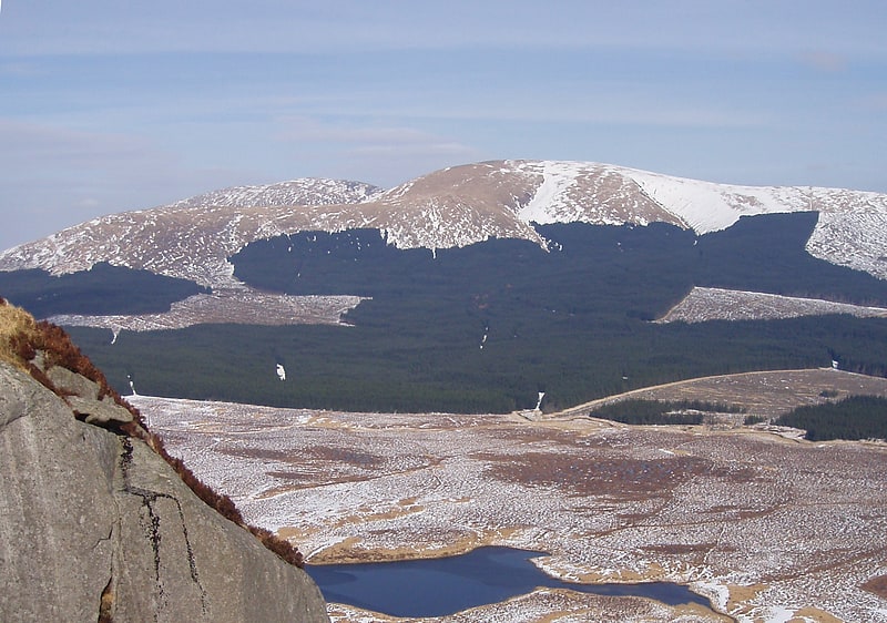
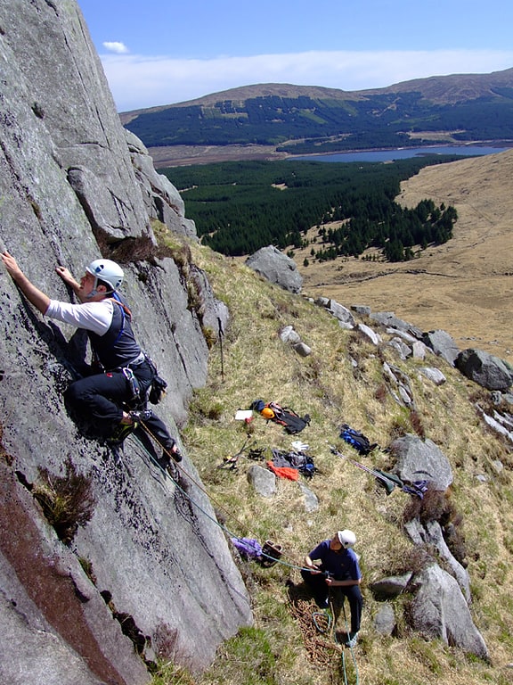
Merrick
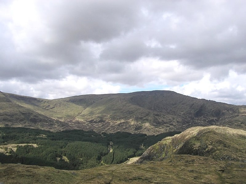
Mountain in Scotland. The Merrick, or simply Merrick, is a mountain in the Range of the Awful Hand, a sub-range of the Galloway Hills range, part of the Southern Uplands of Scotland. The summit elevation is 843 metres, making it the highest mountain in the Southern Uplands and southern Scotland.[1]
Merrick
Mountain in Scotland. The Merrick, or simply Merrick, is a mountain in the Range of the Awful Hand, a sub-range of the Galloway Hills range, part of the Southern Uplands of Scotland. The summit elevation is 843 metres, making it the highest mountain in the Southern Uplands and southern Scotland.[2]
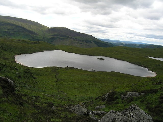
Loch Macaterick
Loch in Scotland. Loch Macaterick is a loch in East Ayrshire, Scotland within Galloway Forest Park and Merrick Kells SSSI. The loch is situated to the north of Macaterick, to the west of Craigfionn and to the southeast of Loch Riecawr.
A boardwalk through a forested area used to lead to the loch from a nearby track but it was removed during forestry works. The loch area has suffered limited heather beetle impacts.[3]
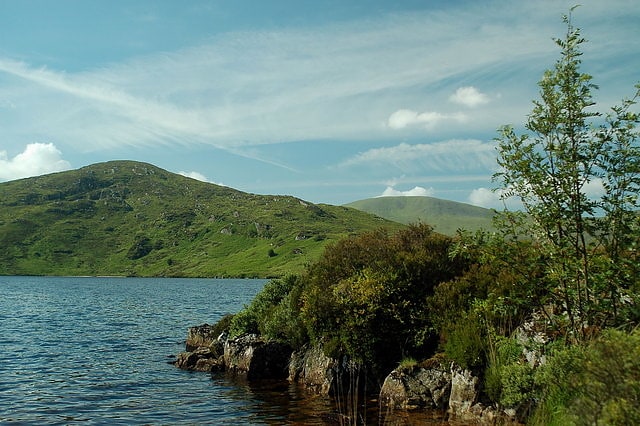
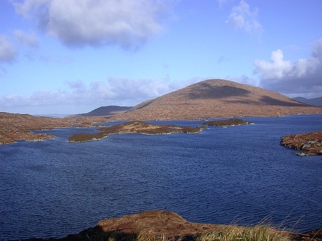
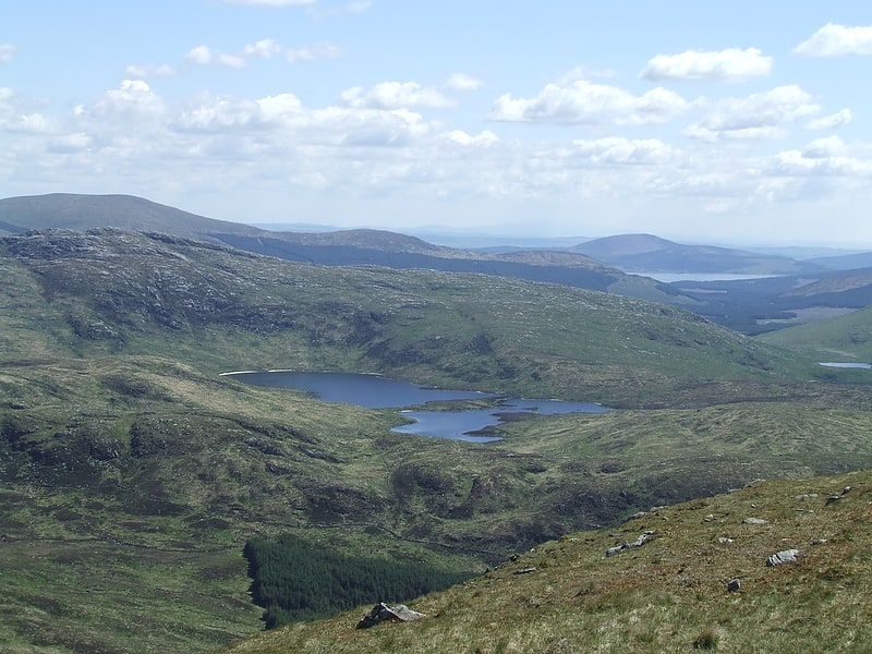
Loch Enoch
Loch in Scotland. Loch Enoch is a multi-basin freshwater loch in Galloway, to the east of Merrick and south of Mullwharchar. The loch is situated in a granite basin and has several small islands and some beaches on its shore. The sharp granite sand of these beaches was collected and sold for sharpening knives and scythes. The catchment area's vegetation is mainly Purple Moor Grass and Heather.
The loch's outflow supplies Loch Doon and the River Doon, both in Ayrshire.[4]
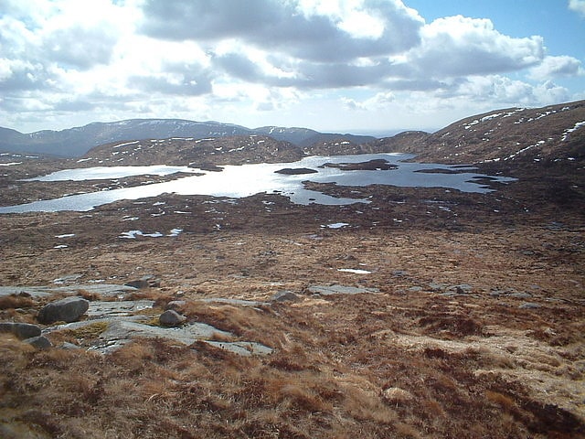
Round Loch of Glenhead
Loch in Scotland. The Round Loch of Glenhead is a small upland single basin loch in Dumfries and Galloway. It is situated within Galloway Forest Park to the west of the hill Craiglee. It forms a pair with the nearby Long Loch of Glenhead. Both lochs are of similar sizes and each have a small island. The two lochs are separated from Loch Valley and Loch Naroch to the north by the Rig of the Jarkness. The loch is drained to the southwest by Round Loch Burn, which after joining into Glenhead Burn flows into Loch Trool.
The catchment of the loch, which receives around 2.3 m of precipitation per year, is 90 hectares of the slopes of Craiglee and some flatter areas nearer the loch. These are characterised by soils varying from thick peat to bare granite and tonalite. The unafforested catchment has vegetation typical of moorland blanket mires. The area is grazed by cattle in the summers only; having previously supported sheep, with periodic peat burning.
The loch has suffered bady from the effects of acidification. As of 2012 the loch had started to recover from this but was still chronically affected, with nitrate and sulphate levels also high. Over the period of July 2013 to December 2014 the pH varied from 4.1 to 6 and the dissolved oxygen ranged from 8.7 to 12.7 mg/l.
The lake and its catchment are part of the Merrick Kells Site of Special Scientific Interest and Special Area of Conservation and the Silver Flowe-Merrick Kells UNESCO biosphere reserve
The loch is monitored since 2005 on an intermittent basis by the (now) United Kingdom Lake Ecological Observatory Network and the Upland Waters Monitoring Network (the United Kingdom Acid Waters Monitoring Network from 1988-2013). As of 2011 it was the 'most fully equipped site for monitoring upland water quality and freshwater biodiversity in the UK'
The loch is characterised as oligotrophic and polymictic
The main plant species present in the catchment include moor grass, heathers including common heather, bracken and sedge and includes other species commonly associated with upland blanket mires such as moor matgrass and potentilla.[5]
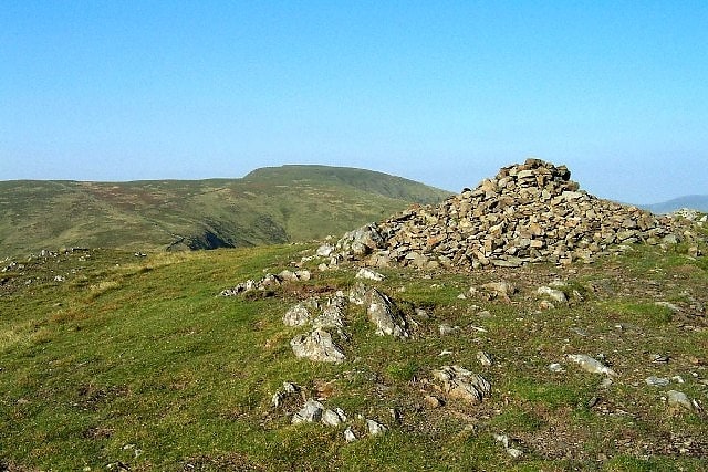
Kirriereoch Hill
Hill in Scotland. Kirriereoch Hill is a hill in the Range of the Awful Hand, a sub-range of the Galloway Hills range, part of the Southern Uplands of Scotland. It lies on the border of the old counties of Ayrshire and Kirkcudbrightshire, or the modern regions of Dumfries and Galloway and South Ayrshire. A boundary wall near the summit is the highest point in South Ayrshire and Ayrshire as a whole. Kirriereoch Hill was classified as a Corbett and Marilyn but then deleted from these lists in 1984 due to not being thought to achieve the respective prominence criteria. In August 2015 the hill was relisted as a Marilyn after having been surveyed to have a 150.2 m prominence. However, since this is less than the 152.4 m required, the hill will not be re-listed as a Corbett.[6]
Mullwharchar
Hill in Scotland. Mullwharchar is a hill in the Dungeon Hills, a sub-range of the Galloway Hills range, part of the Southern Uplands of Scotland. Mullwarchar is situated to the north of Loch Enoch, west of Corserine, northeast of Merrick and east of Kirriereoch Hill. There are 3 cliffs on the mountain named The Slock, The Tauchers and The Organ Pipes and some routes on these are occasionally climbed. Mullwharchar's summit is fairly flat and dotted with erratics.[7]
Corserine
Hill in Scotland. Corserine is a hill in the Rhinns of Kells, a sub-range of the Galloway Hills range, part of the Southern Uplands of Scotland. The highest point of the range and the second highest point in Galloway, the usual route of ascent is from the car park at Forrest Lodge to the east of the hill via Loch Harrow and North Gairy Top. Forest Lodge is a short drive from the village of St. John's Town of Dalry.[8]
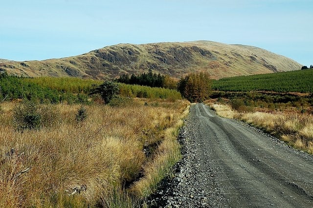
Galloway Hills

Mountain range. The Galloway Hills are part of the Southern Uplands of Scotland, and form the northern boundary of western Galloway. They lie within the bounds of the Galloway Forest Park, an area of some 300 square miles of largely uninhabited wild land, managed by Forestry and Land Scotland. The unusual place names reflect a mixture of the Old Norse and Scottish Gaelic languages and hint at the range of influences which have acted on society within the area over the centuries.[9]
Craignaw
Hill in Scotland. Craignaw is a hill in the Dungeon Hills, a sub-range of the Galloway Hills range, part of the Southern Uplands of Scotland. Unlike many hills in the Southern Uplands, Craignaw has a complex and rocky summit area, with a long line of crags and rough ground on the east side. The hill is largely composed of granite. Near the north end of the hill is an interesting area of terrain known as the "Deil's Bowlin' Green" where various rounded granite boulders are scatterd at random over an area of nearly horizontal granite slabs. These are believed to be glacial erratics or result from a similar glacier process. On the west side of the hill, near grid reference NX458831, a few hundred meters from the summit is an F-111E Aardvark crash site. The site is marked by a small memorial to the two U.S. Air Force pilots who were killed in the accident. Although the crash happened on 19 December 1979 there are still small amounts of aircraft debris in the area.[10]
Loch Neldricken
Loch in Scotland. Loch Neldricken is a loch in Galloway to the south-east of Merrick, south of Craig Neldricken and west of Craignaw. The loch is almost bisected by a long promontory. It drains via the short Mid Burn into Loch Valley and then via Gairland Burn down to Loch Trool.
An inlet at the west of the loch is marked on maps as 'Murder Hole' and features in SR Crockett's The Raiders. However, the original 'Murder Hole' was a well on the Glen Trool to Straiton road where the bodies of travellers who had been robbed and murdered were dumped and Crockett moved the location for his book.
The loch has suffered from acidification but has recovered to some extent, with the pH increasing from around 4.4 in 1978 to 5.4 in 2003. Between 1983 and 2003 the loch's DOC levels increased.[11]