Discover 11 hidden attractions, cool sights, and unusual things to do in Sør-Spitsbergen National Park (Norway). Don't miss out on these must-see attractions: Polish Polar Station, Hornsund, and Recherche Fjord. Also, be sure to include Dunderdalen in your itinerary.
Below, you can find the list of the most amazing places you should visit in Sør-Spitsbergen National Park (Svalbard).
Table of Contents
Polish Polar Station
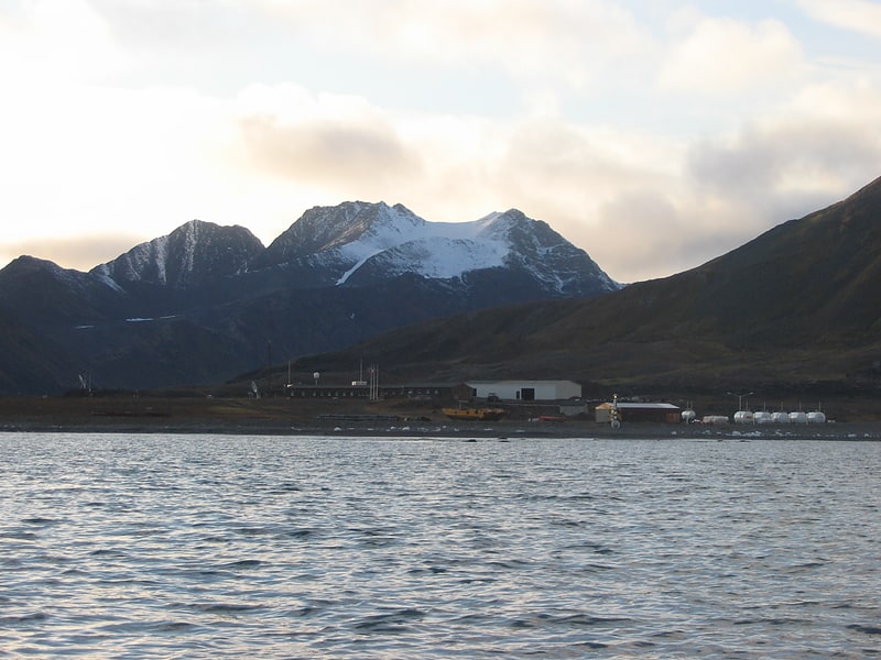
Research institute in Svalbard and Jan Mayen. Polish Polar Station, Hornsund is at Isbjørnhamna in Hornsund, on Spitsbergen in the Norwegian Svalbard archipelago, operated since 1957.[1]
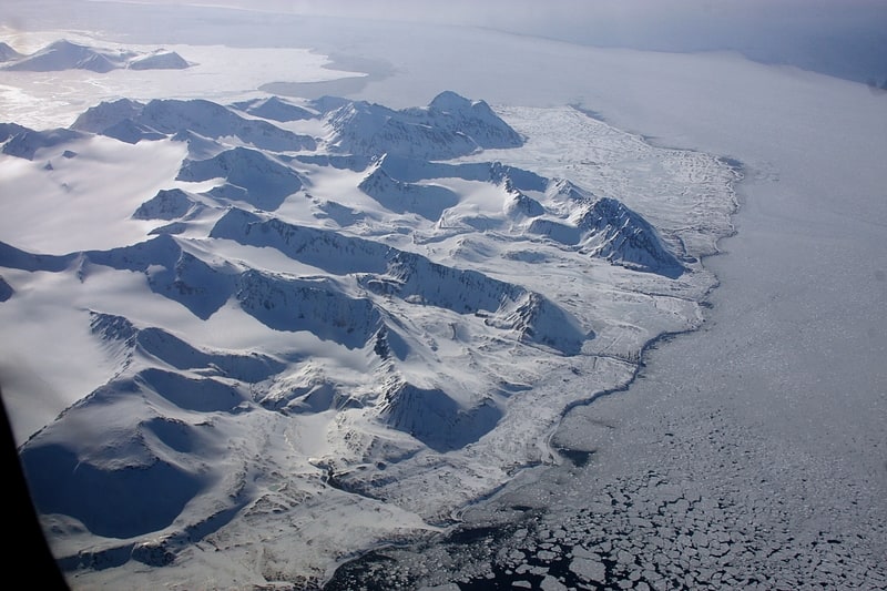
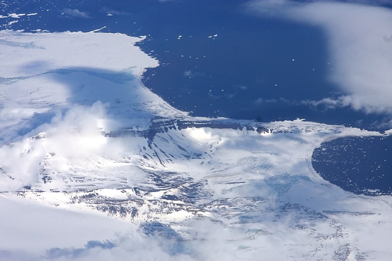
Hornsund
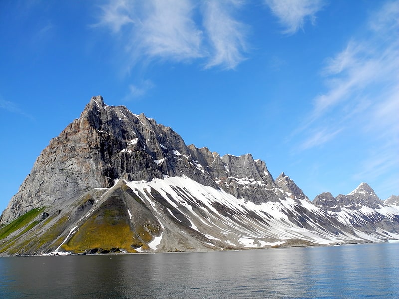
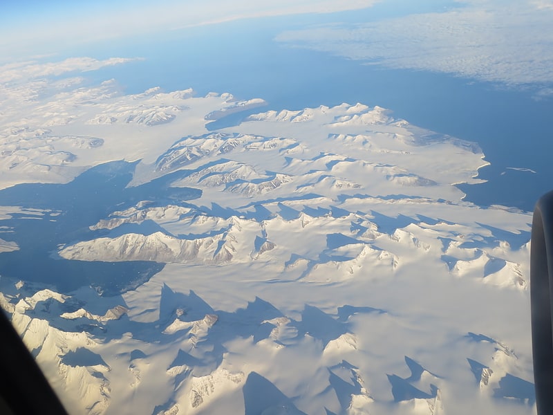
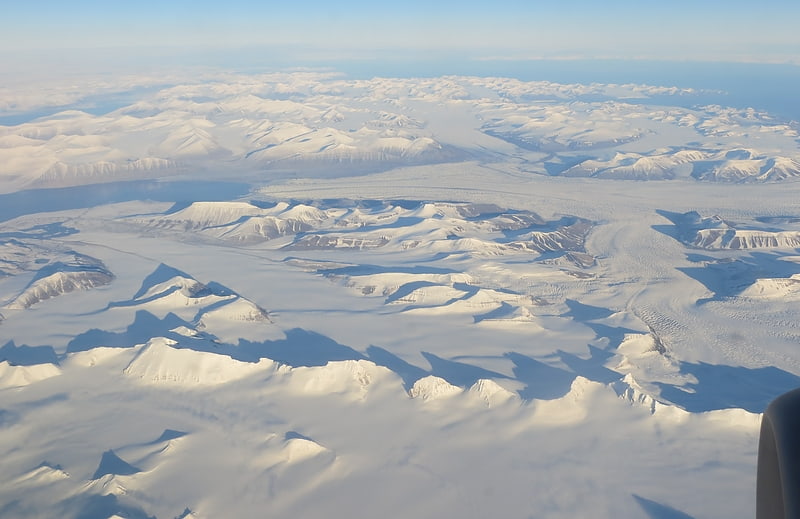
Hornsund is a fjord on the western side of the southernmost tip of Spitsbergen island.
The fjord's mouth faces west to the Greenland Sea, and is 12 kilometres (7.5 mi) wide. The length is 30 kilometres (19 mi), the mean depth is 90 metres (300 ft), and the maximal depth is 260 metres (850 ft). Hornsund cuts different geological formations, from the Precambrian to the west to the upper Mesozoic to the east, and it is perpendicular to the main regional fractures of Spitsbergen.
The coastline of Hornsund is diversified, with a number of bays at the mouths of mountainous glacial valleys. Some of these bays have appeared as late as the beginning of the last century due to recession of glaciers.
A Polish research station has been operating there since 1957.[2]
Recherche Fjord
Also known as: Recherchefjorden
Recherche Fjord is a small fjord on the south side of Bellsund, Spitsbergen. The glacier Recherchebreen debouches into the fjord from south, and Renardbreen from west.[3]
Dunderdalen
Dunderdalen is a valley on Wedel Jarlsberg Land within the Sør-Spitsbergen National Park, on the southwestern part of Spitsbergen, Svalbard. The valley has a length of about 16 km, and opens into Dunderbukta.[4]
Wijkanderberget
Mountain in Svalbard and Jan Mayen. Wijkanderberget is a mountain in Wedel Jarlsberg Land at Spitsbergen, Svalbard.
It is named after Swedish physicist and astronomer August Wijkander, who joined Nordenskiöld's expedition of 1872. The mountain has two peaks of equal height, 562 m.a.s.l. and is situated between Scottbreen, Blomlibreen and Blomlidalen.[5]
Keilhaufjellet
Mountain in Svalbard and Jan Mayen. Keilhaufjellet is a mountain in Sørkapp Land at Spitsbergen, Svalbard. It has a height of 660 m.a.s.l. The mountain is named after Norwegian geologist Baltazar Mathias Keilhau. Keilhaufjellet was the southernmost triangulation point established during the Swedish-Russian Arc-of-Meridian Expedition.[6]
Bohlinryggen

Mountain in Svalbard and Jan Mayen. Bohlinryggen is a mountain ridge in Wedel Jarlsberg Land at Spitsbergen, Svalbard. It has a length of about 4.5 kilometers, and the highest peak is 716 m.a.s.l. It is located between the glaciers Scottbreen and Renardbreen. The ridge is named after Swedish astronomer Karl Bohlin.[7]
Hornsundtind
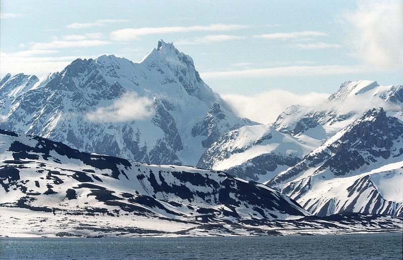
Mountain in Svalbard and Jan Mayen. Hornsundtind is a mountain south of the fjord Hornsund at the southern part of Spitsbergen, Svalbard. Its height is 1,431 metres.[8]
Arrheniusfjellet
Mountain in Svalbard and Jan Mayen. Arrheniusfjellet is a mountain in Torell Land at Spitsbergen, Svalbard. It is named after Swedish physicist Svante Arrhenius. The mountain has a height of 883 m.a.s.l. and is located at the head of Van Keulenfjorden. The glacier of Vindbreen separates Arrheniusfjellet from Vindfjellet at the southern side. The large glacier of Liestølbreen is situated between Arrheniusfjellet and Wijkberget, and Nathorstbreen is located southwest of the mountain.[9]
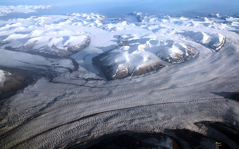
Olsokbreen
Glacier in Svalbard and Jan Mayen. Olsokbreen is a glacier in Sørkapp Land at Spitsbergen, Svalbard. It has a length of about seventeen kilometers, and debouches into the bay Stormbukta at the western shore of Spitsbergen. The glacier front is about five kilometer long. Olsokbreen is a southern branch of the glacier Mefonna, which also has the northern branch Samarinbreen. Tributary glaciers to Olsokbreen are Kvithettbreen and Valettebreen, both coming from the east, from or between the mountains of Snøkrossen, Gråtinden, Kvithetta, Haitanna and Guilbaudtoppen.
Olsokbreen is one of the 163 tidewater glaciers in Svalbard. It lies in the southernmost tip of Svalbard.
Records show that between 1900 and 2008 the Olsokbreen has receded by 3.5 kilometers. It has gradually withdrawn from a peninsula to its north. Since 2010, however, it is the southern section of Olsokbreen that has seen more calving.
Images taken in 2010 also showed that the north–south calving front has become irregular. Further images taken from 2012 showed that the open water at the north side of the glacier between the terminus and the peninsula had extended. The natural prediction from these images is that the increase in the calving front's width will bring about an increase in calving.[10]
Friherrefjella
Ridge in Svalbard and Jan Mayen. Friherrefjella is a mountain ridge in Wedel Jarlsberg Land at Spitsbergen, Svalbard. The ridge has a length of about 16 kilometers and a width of eight kilometers, and is situated between the Penckbreen and Nathorstbreen glacier complexes. Among the named mountains along the ridge are Neumayerberget, Basilika and Basilikarabbane, Zillerberget, Sukkertoppen, Lappkota, Pagoden, Skiltoppen, Suessberget, Armfjellet, Aksla, Sotryggen and Valken.[11]