Discover 8 hidden attractions, cool sights, and unusual things to do in Latina (Italy). Don't miss out on these must-see attractions: Stadio Domenico Francioni, Latina Cathedral, and Satricum. Also, be sure to include Torre Pontina in your itinerary.
Below, you can find the list of the most amazing places you should visit in Latina (Lazio).
Table of Contents
Stadio Domenico Francioni
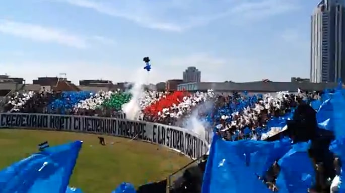
Multi-purpose stadium in Latina, Italy. Stadio Domenico Francioni, is a multi-purpose stadium in Latina, Lazio, Italy. It is mainly used mostly for football matches and hosts the home matches of U.S. Latina Calcio of the Serie B. The stadium has a capacity of 9,398 spectators.[1]
Address: Piazzale Prampolini, 04100 Latina
Latina Cathedral
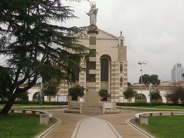
Also known as: Cattedrale di San Marco
Cathedral. Latina Cathedral is a Roman Catholic cathedral, dedicated to Saint Mark, situated in the centre of the city of Latina, Lazio, Italy. It is the seat of the bishops of Latina-Terracina-Sezze-Priverno.[2]
Address: Piazza San Marco 10, 04100 Latina
Satricum
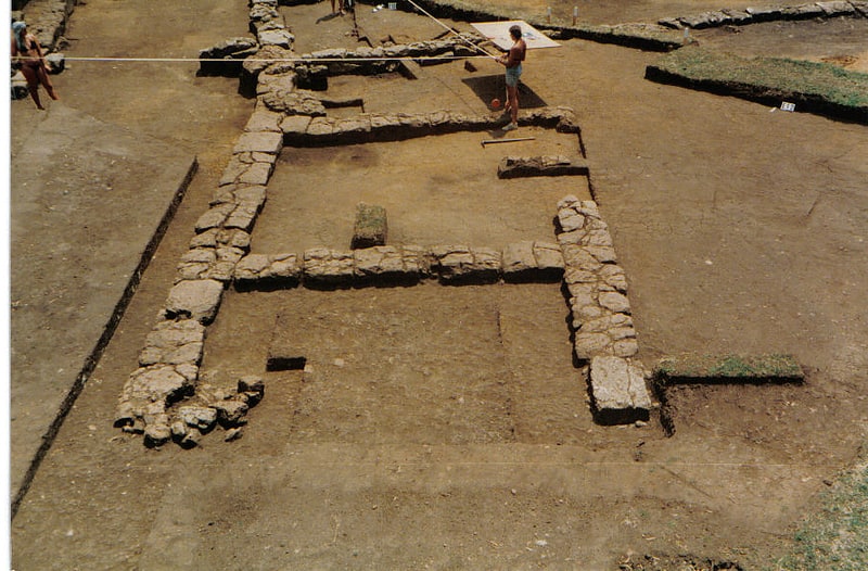
Also known as: Satrico
Town. Satricum, an ancient town of Latium vetus, lay on the right bank of the Astura river some 60 kilometres SE of Rome in a low-lying region south of the Alban Hills, at the NW border of the Pontine Marshes. It was directly accessible from Rome via a road running roughly parallel to the Via Appia.[3]
Address: Str. Nettunense, 43, 04100 Le Ferriere
Torre Pontina
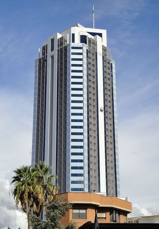
Skyscraper in Rome, Italy. Torre Pontina is a skyscraper in Latina, the tallest building in the city and one of the highest residential towers in Italy. The foundation of the building was laid in 2007. The building is near the Latinafiori Shopping Center.[4]
Museo civico Duilio Cambellotti
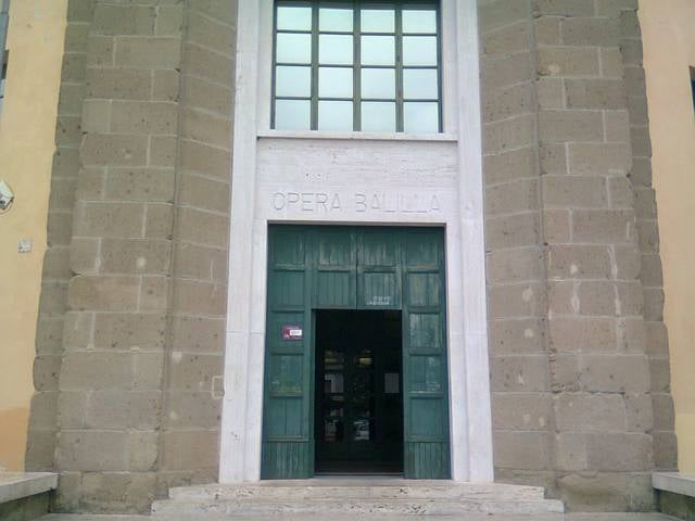
The Duilio Cambellotti Civic Museum in Latina is located on Piazza San Marco in the former Opera Nazionale Balilla building.
Created in 2005, the Museum collects part of the artist's many works: sculptures, drawings, tempera paintings, woodcuts, ceramics, books, medals, posters and documents that testify to the artist's activities in the Latina and Pontine area.
Address: P.zza San Marco, 1, 04100 Latina
Museo di Piana delle Orme
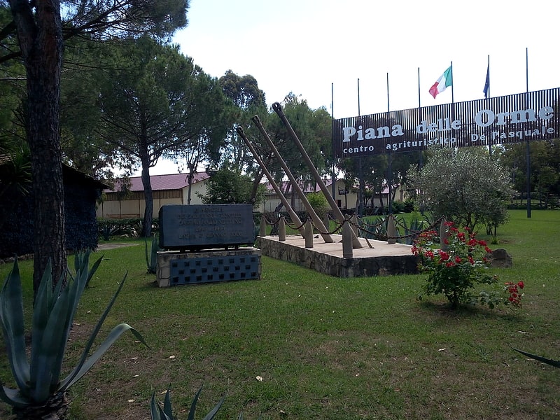
The Piana delle Orme Museum is a park-museum in the province of Latina containing about 50000 artifacts distributed in many pavilions according to multiple themes contextualized with the territory ranging from the Anzio Landing during World War II to the reclamation of the Agro Pontino.
Address: Strada Migliara 43 1/2, 29, 04100 Latina
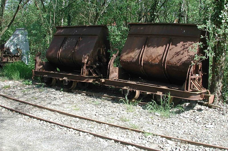
Decauville
Pontine Marshes
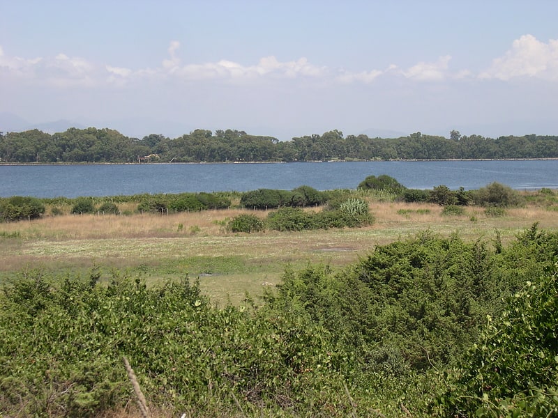
Also known as: Agro Pontino
The Pontine Marshes is an approximately quadrangular area of former marshland in the Lazio Region of central Italy, extending along the coast southeast of Rome about 45 km from just east of Anzio to Terracina, varying in distance inland between the Tyrrhenian Sea and the Volscian Mountains from 15 to 25 km. The northwestern border runs approximately from the mouth of the river Astura along the river and from its upper reaches to Cori in the Monti Lepini.
The former marsh is a low tract of mainly agricultural land created by draining and filling, separated from the sea by sand dunes. The area amounts to about 80,000 ha (800 km2; 310 sq mi). The Via Appia, a Roman military road constructed in 312 BC, crosses the inland side of the former marsh in a long, straight stretch flanked by trees. Before then, travelers had to use the Via Latina along the flanks of the mountains; Terracina could not be reached across the marsh.
Further southward along the coast as far as Minturno is another stretch of former coastal marsh called the South Pontino, the largest section being between Terracina and Sperlonga, as far inland as Fondi. It was part of ancient Latium adiectum and still belongs to Lazio. Bordered by the Aurunci Mountains, this land is mainly reclaimed, as well, but the more frequent incursion of hills permitted more dense settlements. Leaving Terracina, the Via Appia crosses it, as well.
The marsh was an extensive alluvial plain at about sea level (some above, some below) created by the failure of the streams draining the mountains to find clearly defined outlets to the sea through the barrier dunes. Above sea level, it was a forested swamp; below, it was mud flats and pools. Sparsely inhabited throughout much of their history, the Pontine Marshes were the subject of extensive land reclamation work performed periodically. The tribe of the Volsci began with minor draining projects in the vicinity of Tarracina in connection with their occupation of it in the pre-Roman period.
The road proved difficult to keep above water. Under Augustus, a compromise was reached with the construction of a parallel canal. The part of the marsh above sea level was successfully drained by channels, and new agricultural land of legendary fertility came into being. Whenever the channels were not maintained, the swamp reappeared. Meanwhile, frequent epidemics of malaria at Rome and elsewhere kept the reclamation issue alive. Under Benito Mussolini's regime in the 1930s, the problem was nearly solved by placing dikes and pumping out that portion of the marsh below sea level. It continues to need constant maintenance. Italian confidence in the project was so high, the city placed by Mussolini in 1932 in the center of the marsh, Latina, became the capital of a new province, Latina.[5]