Discover 8 hidden attractions, cool sights, and unusual things to do in Hoover Wilderness (United States). Don't miss out on these must-see attractions: Virginia Lakes, Matterhorn Peak, and Mount Conness. Also, be sure to include Leavitt Falls in your itinerary.
Below, you can find the list of the most amazing places you should visit in Hoover Wilderness (California).
Table of Contents
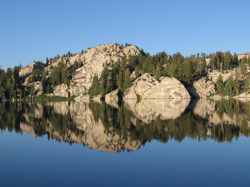
Virginia Lakes
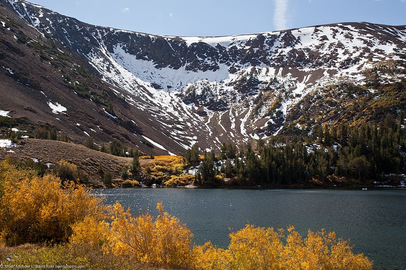
Lake in California. Virginia Lakes refers to a basin of lakes in the Eastern Sierra Nevada in Mono County, California. Virginia Lakes is located a few miles off U.S. Highway 395; the road to the lakes turns off U.S. 395 at Conway Summit, roughly halfway between Bridgeport, California, to the north and Lee Vining, California, to the south, in the Humboldt-Toiyabe National Forest. The name can also refer to two lakes within the basin: Little or Lower Virginia Lake and Upper or Big Virginia Lake. The area is part of the Virginia Lakes census-designated place.[1]
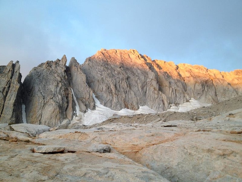
Matterhorn Peak
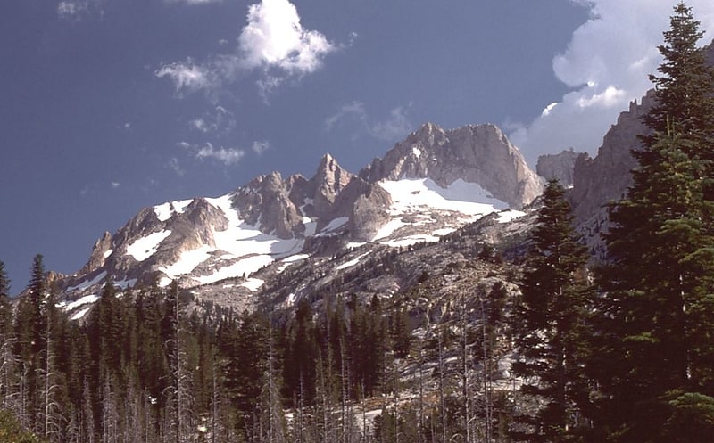
Peak in California. Matterhorn Peak is located in the Sierra Nevada, in California, at the northern boundary of Yosemite National Park. At 12,285 feet elevation, it is the tallest peak in the craggy Alps-like Sawtooth Ridge and the northernmost 12,000-foot peak in the Sierra Nevada. The peak also supports the Sierra's northernmost glacier system. It was named after the Matterhorn in the Alps. Matterhorn Peak is near Twin Peaks, and just north of Whorl Mountain.
The peak can be ascended without climbing gear.[2]
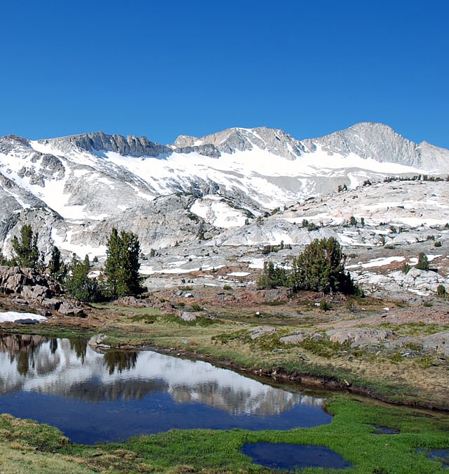
Mount Conness
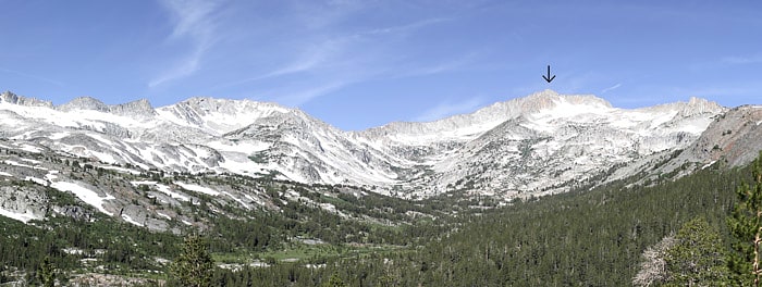
Mountain in California. Mount Conness is a 12,590 foot mountain in the Sierra Nevada range, to the west of the Hall Natural Area. Conness is on the boundary between the Inyo National Forest and Yosemite National Park. The Conness Glacier lies north of the summit.[3]
Leavitt Falls
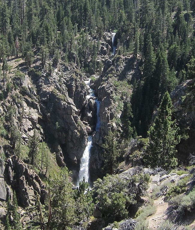
Waterfall in California. Leavitt Falls is a 200-foot, multi-tiered waterfall in the Sierra Nevada of Mono County, California. The falls are located on Leavitt Creek, a tributary of the West Walker River, and are formed where the creek drops off the edge of a hanging valley into Leavitt Meadow.
A turnout on Highway 108 provides a view of the falls and meadow. The falls themselves are not accessible by trail, as they are located in a steep narrow box canyon. The waterfall and other nearby features are named for Hiram Leavitt, an early settler in Mono County.[4]
Peeler Lake
Landform in California. Peeler Lake is a California landform within the Toiyabe National Forest and on the west edge of the Hoover Wilderness. One of the few bodies of water on the Great Basin Divide, Peeler Lake's inflow is sufficient for outlet streams over 2 Sierra Crest sills of similar elevation to respectively drain westward to the Pacific Ocean and eastward into the Great Basin. Peeler Lake's saddle area is a mountain pass between the west Sierra slope and the Sierra Escarpment to the east, and the lake level of 9,488 ft is over 1,000 ft below the summits of Cirque Mountain and Crown Point. The namesake Peeler Lake Trail of 1.5 mi from the east reaches the lake from the Robinson Creek Trailhead parking at the west side of Twin Lakes, and the Bridgeport Ranger Station issues overnight permits for the backcountry area of the lake.
Peeler Lake was named in 1925 for Barney Peeler (1833-1920) of nearby Bridgeport (as was Barney Lake downstream to the east), and the lake was added to the Geographic Names Information System in 2000. In 2006, an environmental evaluation of the lake concluded "the nitrate concentration of 17 μeq/L to be too high to come from atmospheric deposition alone."[5]
North Peak
Peak in California. North Peak is an alpine peak just north of Mount Conness in the Sierra Nevada. The summit is to the west of the Hall Natural Area and on the boundary between the Inyo National Forest and Yosemite National Park. North Peak is in Tuolumne County in eastern California in the southwestern United States.[6]
Dunderberg Peak
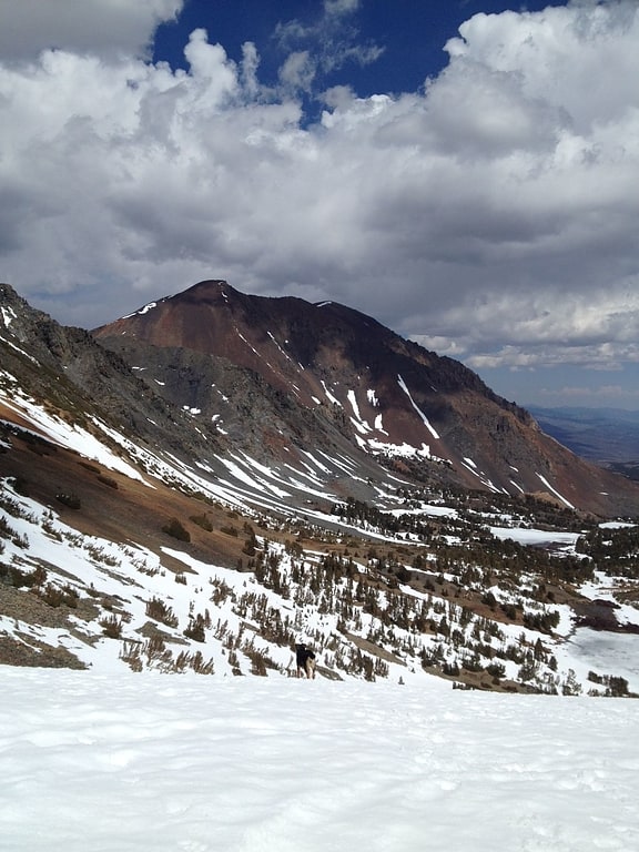
Peak in California. Dunderberg Peak is located east of the Sierra Nevada crest near the divide between the Mono Basin and East Walker River basin in Mono County, in eastern California in the southwestern United States. The peak is in the Hoover Wilderness and is the highest point in Humboldt-Toiyabe National Forest.[7]
Conness Glacier
Glacier in California. The Conness Glacier is on the steep northeast cirque of Mount Conness, east of the Sierra Nevada crest, in the U.S. state of California. The glacier is situated at about 11,548 feet. and can be seen from Saddlebag Lake to the east. The glacier is the largest glacier in the Sierra Nevada north of Tioga Pass or Highway 120.[8]