Discover 11 hidden attractions, cool sights, and unusual things to do in Breuil-Cervinia (Italy). Don't miss out on these must-see attractions: Rif. Oriondé, Dent d'Hérens, and Pic Tyndall. Also, be sure to include Refuge Jean-Antoine Carrel in your itinerary.
Below, you can find the list of the most amazing places you should visit in Breuil-Cervinia (Aosta Valley).
Table of Contents
Rif. Oriondé
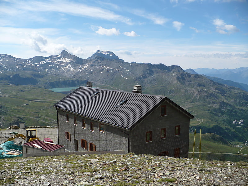
Also known as: Rifugio Duca degli Abruzzi all'Oriondé
Mountain cabin in Italy. Refuge Duc des Abruzzes à l'Oriondé is a refuge located above Breuil-Cervinia in the Aosta Valley. The refuge lies on the south side of the Matterhorn, at a height of 2,802 metres. It is used for the ascent of the Italian normal route.[1]
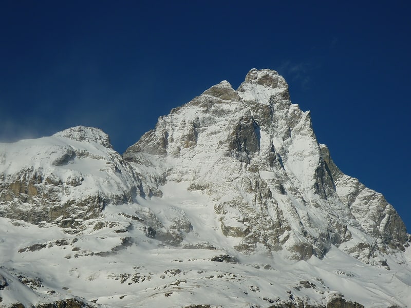
Dent d'Hérens
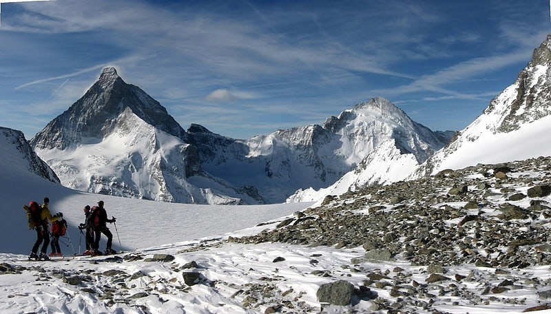
Mountain with views of the Matterhorn. The Dent d'Hérens is a mountain in the Pennine Alps, lying on the border between Italy and Switzerland. The mountain lies a few kilometres west of the Matterhorn.
The Aosta hut (2,781 m) is used for the normal route.[2]
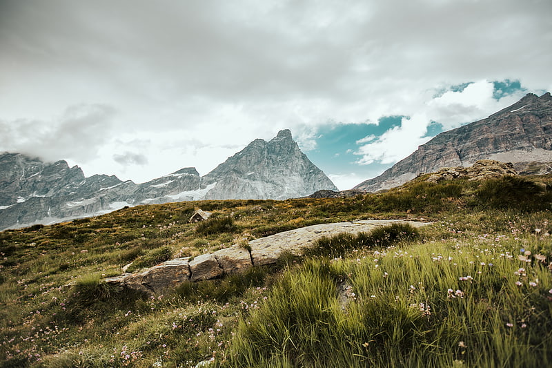
Pic Tyndall
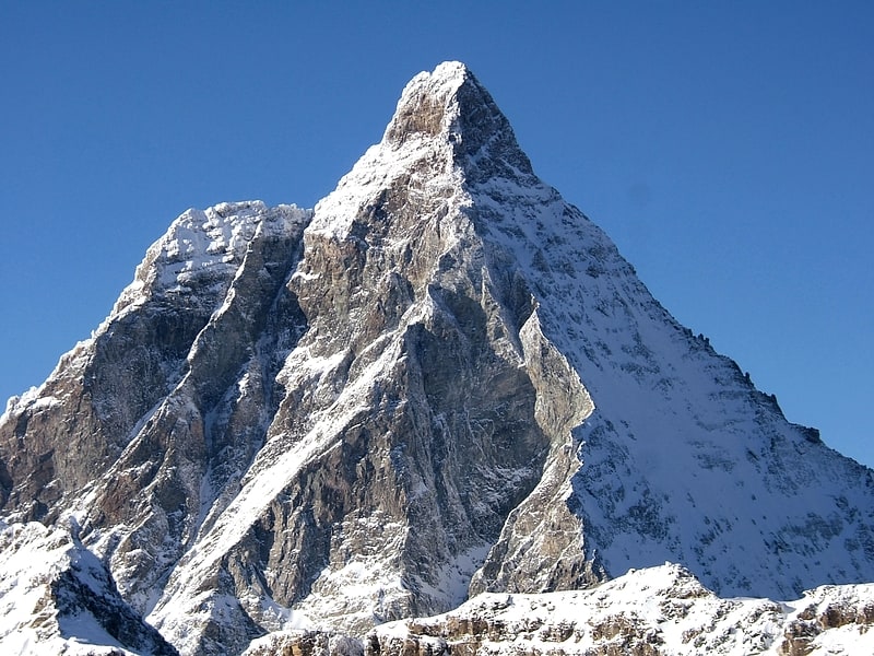
Summit in Italy. Pic Tyndall is a minor summit below the Matterhorn in the Pennine Alps, on the boundary between Aosta Valley and Switzerland. Because of its small prominence it was included in the enlarged list of alpine four-thousanders. It was named in honour of John Tyndall who made the first ascent.[3]
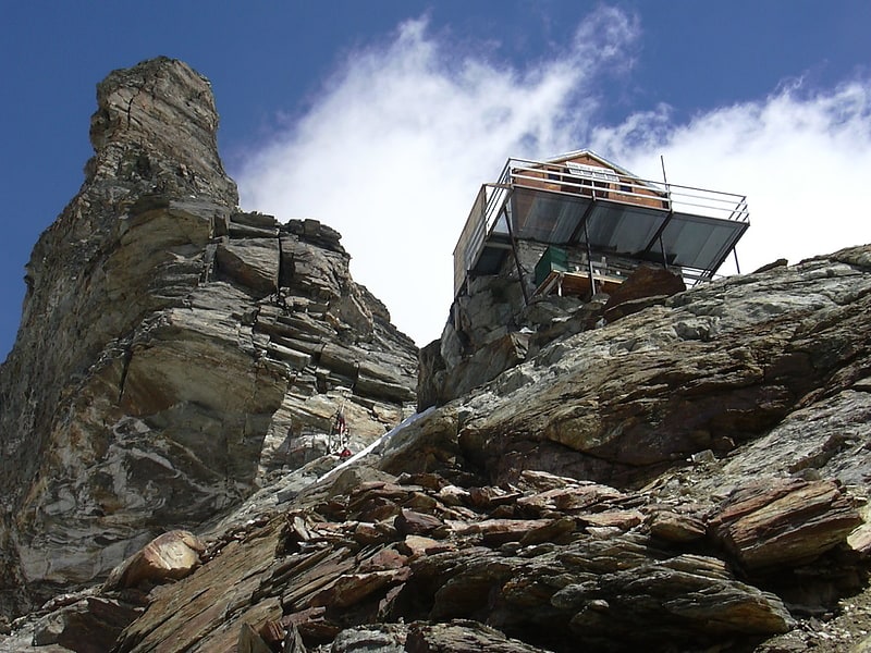
Refuge Jean-Antoine Carrel
Also known as: Rifugio Jean-Antoine Carrel
Refuge Jean-Antoine Carrel is a refuge in the Alps at an altitude of 3,830m in Aosta Valley, Italy. It is located on the south-west ridge of the Matterhorn, near the Swiss border.
The mountain hut was named after Jean-Antoine Carrel who made the first ascent of the Matterhorn via the south-west ridge.
It is located along the south-west ridge of the Matterhorn (Arête du lion). The new shelter, owned by the Società delle Guida del Cervino or Société des guides du Cervin, was inaugurated in 1969 and partially redone after the major landslides that affected this side of the mountain in 2002–2003. The Carrel shelter has 50 beds and is always open.
The nearby Capanna Luigi Amedeo di Savoia, built in 1905 by the CAI section of Turin, has been transformed into a museum and moved first to the village of Valtournenche and then, in September 2009, in front of the Italian Matterhorn Guide Company office. This bivouac was an alternative shelter to the Carrel refuge, and was heavily damaged in the summer of 2003 following a large landslide (the same that caused the fall of the so-called Cheminée). The platform where the bivouac was located is now used as a landing point for the helicopter.
Access is from Breuil-Cervinia. The refuge can be reached from the Duca degli Abruzzi-refuge in a hike of about four hours. The last part of the track, despite the presence of fixed ropes, is reserved for experienced mountaineers.[4]
Furggen
Mountain in Switzerland. The Furggen is a mountain of the Pennine Alps, located on the border between Italy and Switzerland. It is the culminating point of the ridge named Furgggrat stretching from the Furggjoch to the Theodul Pass, and is located halfway between the Matterhorn and Testa Grigia.
The peak is the site of the now abandoned cable car station. Construction on the cable car began in the summer of 1950 - with the station on the Furggen summit designed by Carlo Mollino - and the lift opened to the public on 25 December 1952. The lift had a single span of 2,887m long - making it the world's longest at the time of its opening. The car could hold 25 passengers and transport 240 people per hour. The lift between Plan Maison and Furggen was designed as part of a system of cable cars reaching from Breuil-Cervinia to the Matterhorn, with leg one running from Breuil-Cervinia to Plan Maison (opened on 4 March 1939). Leg 2 running from Plan Maison up to the summit of Furggen, and leg 3 reaching the top of the Matterhorn. The final leg was never constructed, partly as a result of the large cost and due to environmental opposition. The leg between Plan Maison and Furggen was abandoned in 1993 after ice brought down the cables and they were never replaced. The station on the summit of Furggen is now abandoned, but the leg between Breuil-Cervinia and Plan Maison is still in place.[5]
Testa del Leone
Mountain in Italy. The Testa del Leone is a mountain of the Pennine Alps, located on the border between Switzerland and Italy. It lies on the main Alpine watershed, west of the Matterhorn.[6]
Chiesa della Regina della Valle
Church
Address: Via Guido Rey, 16, 11021 Breuil-Cervinia
Plateau Rosa
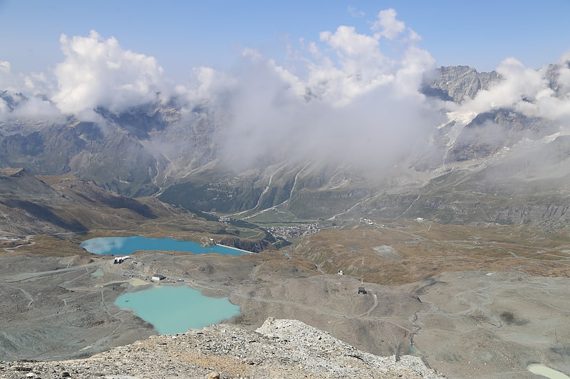
Ski area, Park, Outdoor activities, Aerial tramway
Lago Blu
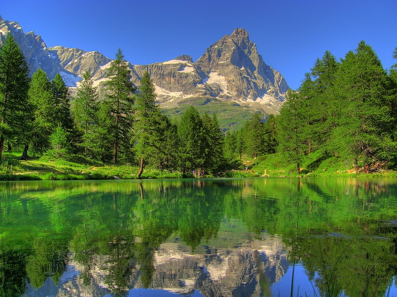
Body of water, Park
Bec Pio Merlo
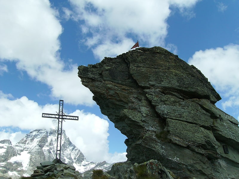
Bec del Pio Merlo is a rocky pinnacle 2620 m above sea level in the Pennine Alps. It is located above Breuil-Cervinia, in the Aosta Valley.
Punta Lioy
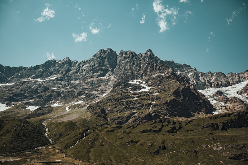
Punta Lioy is a 3816 m above sea level mountain in the Pennine Alps, in the Aosta Valley. It is part of the Grandes Murailles, on the watershed between Valpelline and Valtournenche.