Discover 11 hidden attractions, cool sights, and unusual things to do in Texelgruppe Nature Park (Italy). Don't miss out on these must-see attractions: Hochwilde, Similaun, and Spronser Lakes. Also, be sure to include Hinterer Seelenkogel in your itinerary.
Below, you can find the list of the most amazing places you should visit in Texelgruppe Nature Park (Trentino-South Tyrol).
Table of Contents
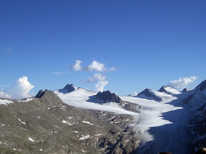
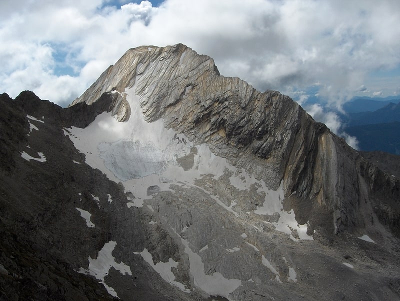
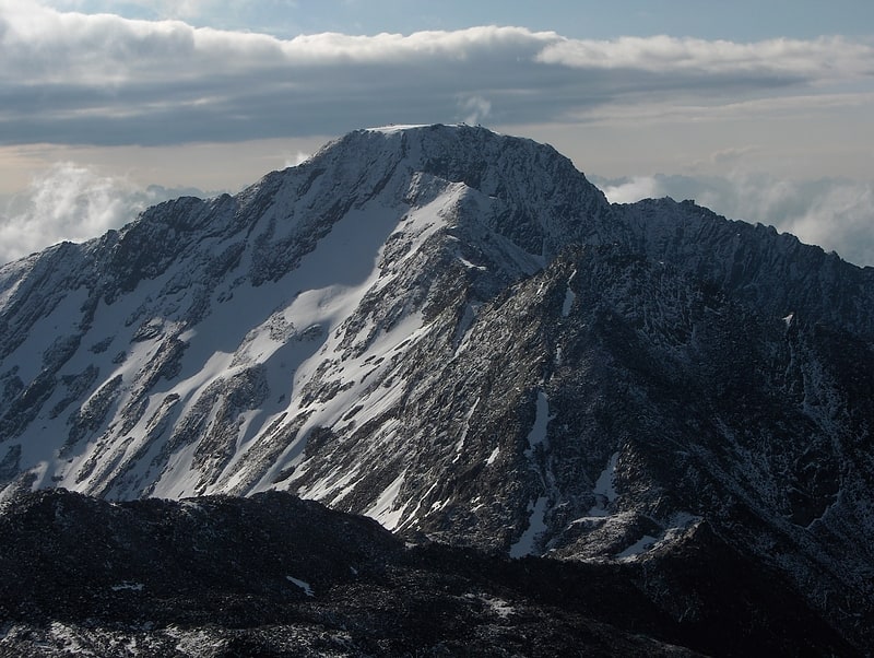
Hochwilde
Also known as: Cima Altissima
Mountain in Italy. The Hochwilde or Hohe Wilde is a mountain in the Ötztal Alps on the border between Tyrol, Austria, and South Tyrol, Italy.[1]
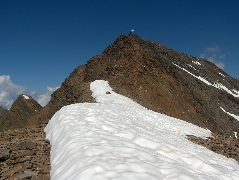
Similaun
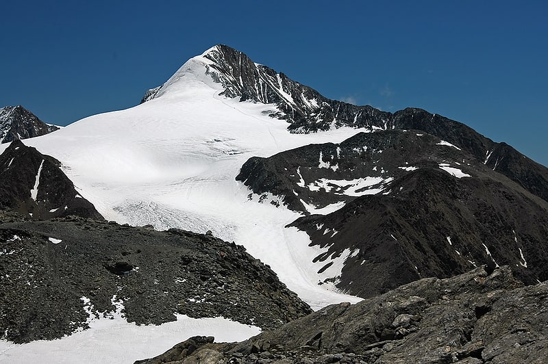
Mountain in Europe. The Similaun is a mountain in the Schnalskamm group of the Ötztal Alps. It is on the Austrian-Italian border. At 3,606 m, it is Austria's sixth highest summit. It was first ascended in 1834 by Josef Raffeiner and Theodor Kaserer. It is most famous for being the mountain on whose slopes Helmut Simon and Erika Simon discovered Ötzi the Iceman in 1991.[2]
Spronser Lakes
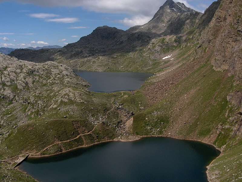
The Spronser Lakes is the largest group of high elevation lakes in the Alps, located in South Tyrol, Italy.
It is located in the eastern part of the Texel Group. Eight to ten lakes of significant size such as the Grünsee, the Langsee, the two Milchseen or the small Mückensee occupy a total area of 30 hectares. However, only the Kaser Lacke, the Pfitscher Lacke, the Mückenlacke, the Grünsee, the Schwarzsee, the Schiefersee, and the Kesselsee belong officially to this group of lakes. They were eroded by glaciers on a relatively limited area at altitudes from 2117 to 2598 m or left behind in the rocks of the ancient gneises, granite gneisses, and mica schists. The largest body of water is the Langsee which is alive with salvelinus. A particularly good view can be obtained from the summit of Spronser Rötelspitze. The owner of Auer Castle in the village Tirol has the fishing right in the Langsee.[3]
Hinterer Seelenkogel
Also known as: Cima delle Anime
Mountain in Italy. The Hinterer Seelenkogel is a mountain in the Gurgler Kamm group of the Ötztal Alps.[4]
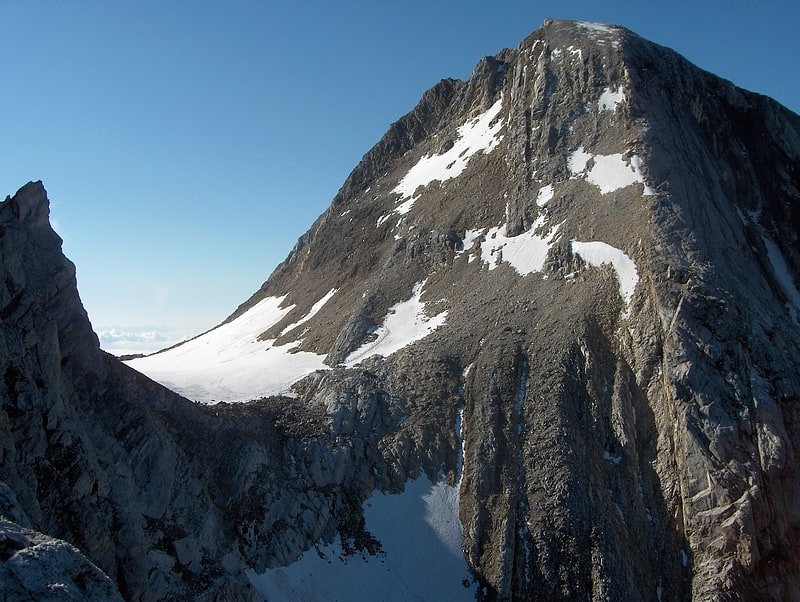
Lodner
Also known as: Cima Fiammante
Mountain in Italy. The Lodner is a mountain in the Ötztal Alps in South Tyrol, Italy.[5]
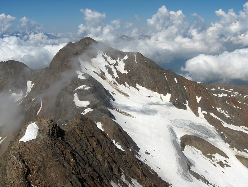
Hohe Weisse
Also known as: Cima Bianca Grande
Mountain in Italy. The Hohe Weisse or Hochweisse is a mountain in the Texel group of the Ötztal Alps. Its parent peak is the Hochwilde. The easiest route to the summit is the Willy-Ahrens-weg.[6]
Roteck
Also known as: Monte Rosso
Peak in Italy. The Roteck is the highest peak in the Texel group of the Ötztal Alps.[7]
Texelspitze
Also known as: Cima Tessa
Mountain in Italy. The Texelspitze is a mountain in the Texel group of the Ötztal Alps.[8]
Gfallwand
Mountain in Italy. The Gfallwand is a mountain in the Texel group of the Ötztal Alps. Parent peaks are the Zielspitze, Lahnbachspitze and Schwarze Wand. On the south side of the mountain is also a little lake, Pircher Lacke. The easiest route to the summit leads along the Ginggljoch.[9]
Texel Group
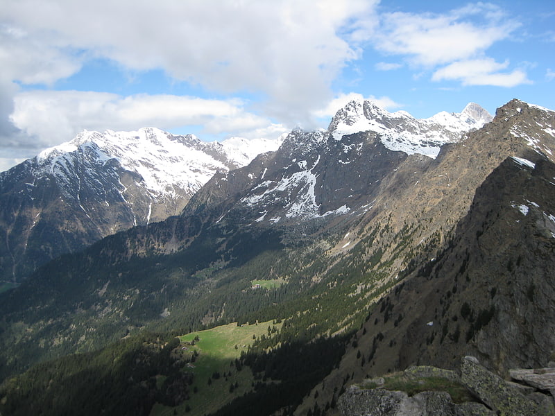
Also known as: Gruppo Tessa
The Texel Group is a group of mountains of the Ötztal Alps in the Eastern Rhaetian Alps. It is located in South Tyrol in Italy.
The mountain range is part of the Texelgruppe Nature Park and is crossed by the Meraner Höhenweg (Italian: Alta via meranese), a high level footpath.[10]
Mutspitze - Monte Muta
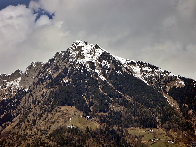
Mount Muta is a mountain in the Eastern Alps, more specifically in the Passeirie Alps, measuring 2291 meters. It is located north of Merano, in the southeastern part of the Tessa Group.