Discover 11 hidden attractions, cool sights, and unusual things to do in Guadarrama National Park (Spain). Don't miss out on these must-see attractions: Peñalara, La Pinareja, and Risco de los Claveles. Also, be sure to include Peñalara Natural Park in your itinerary.
Below, you can find the list of the most amazing places you should visit in Guadarrama National Park (Madrid).
Table of Contents
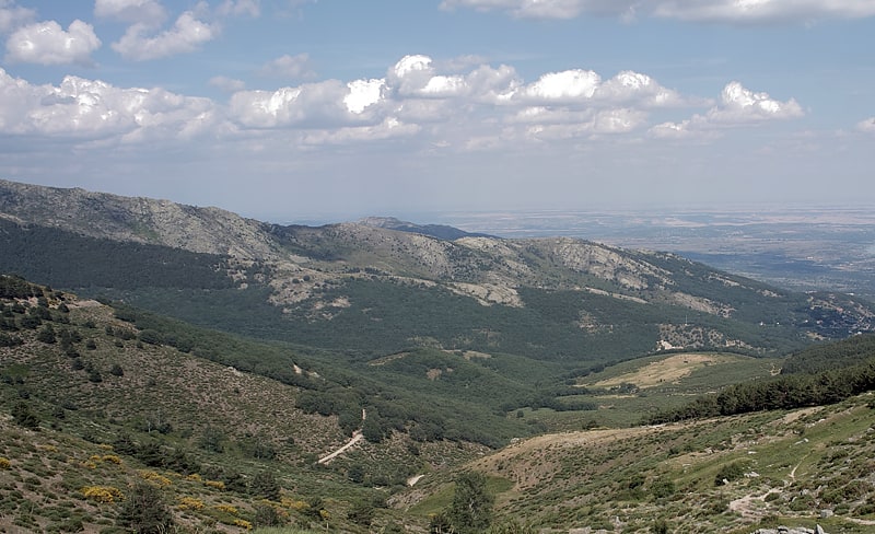
Peñalara
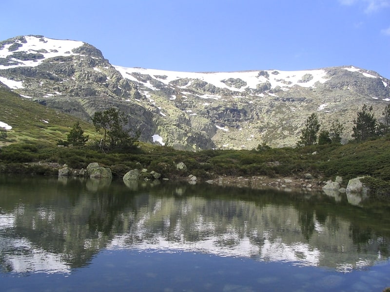
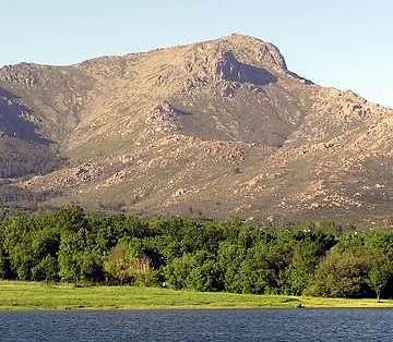
Mountain in Spain. Peñalara is the highest mountain peak in the mountain range of Guadarrama, a subsection of Spain's larger Sistema Central mountain chain which lies at the center and divides the Iberian Peninsula. Straddling the provinces of Madrid and Segovia, Peñalara reaches a height of 2,428 metres above sea level. Consequently, it is one of the most emblematic and important peaks of the Guadarramas.
The eastern section of the mountain lies in the municipality of Rascafría in the province of Madrid, belonging to the Valle of Lozoya, and its western section is located in the Valle of Valsaín in the province of Segovia. The peak's summit is a designated natural park known as the Parque Natural de Peñalara, which features several small lakes and some steep escarpments.
The outline of Peñalara is rounded, displaying few underhangs. The hillsides of this mountain are covered with different types of vegetation, depending on the elevation. Largely undisturbed oak tree groves are found at an elevation of 1,000 to 1,300 metres. From 1,100 metres to 2,000 metres, the slopes are dominated by wild pine forests. From 2,000 metres up to the summit, the vegetation consists of more sparsely distributed, low-lying bushes particular to high elevations. The animal habitation of the mountain is made up of small mammals, a large variety of insects and various bird species such as eagles and vultures.[1]
La Pinareja
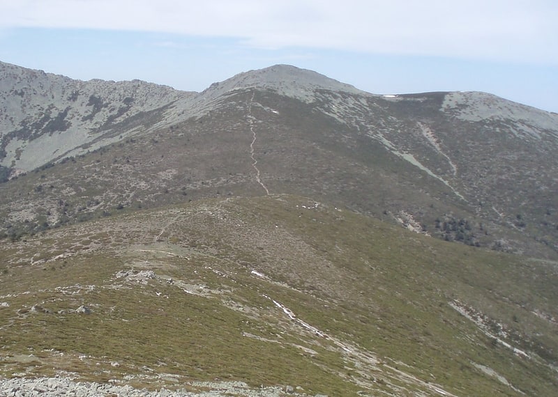
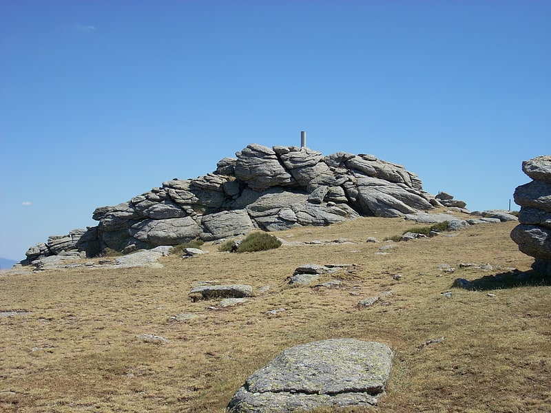
Mountain in Spain. La Pinareja is a 2,197-metre-high mountain in Spain.[2]
Risco de los Claveles
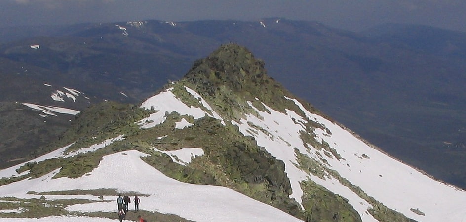
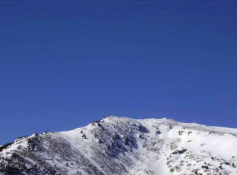
Peak in Spain. Risco de los Claveles, is the second highest peak in the Sierra de Guadarrama. It is 2366 meters high, and is located in the northwest of Peñalara Natural Park, 700 meters north from Peñalara peak. Risco de los Claveles is in the limit between the provinces of Segovia and Madrid.[3]
Peñalara Natural Park

Also known as: Parque natural de la Cumbre, el Circo y las Lagunas de Peñalara
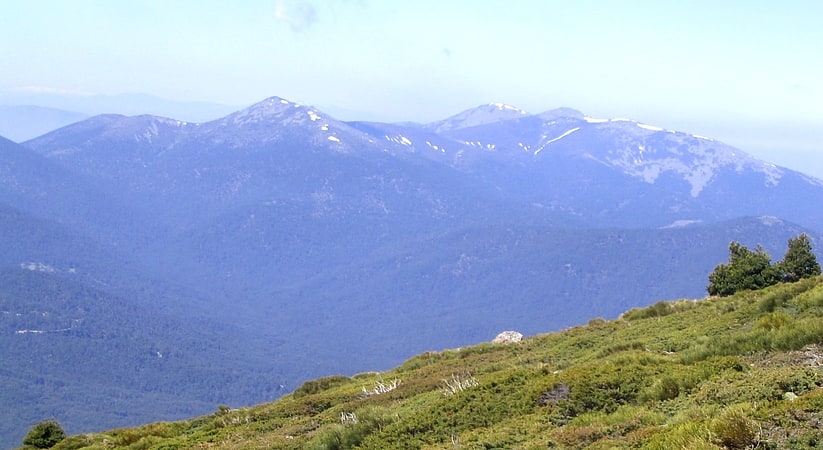
Park in Spain. The Peñalara Natural Park is a natural park of 7.68 km2 in the northwest of the Community of Madrid, Spain. It was designated in June 1990. The park is situated in the central zone of the Sierra de Guadarrama. Since 2013 the Sierra de Guadarrama has also been protected by a national park designation.
The reserve includes Peñalara, the highest peak of the mountain system, and an area to the south-east of the peak in Rascafría district. The zones of lowest altitude hold white pine forests and grasslands. Bushes grow higher up in the mountains, which are predominantly composed of alpine meadows and rocky areas. The park is home to the black vulture and the Spanish imperial eagle, and also many small mammals and amphibians.
The park is accessible from Puerto de Cotos, the region's center of tourism. Especially popular on the holidays, the reserve provides a venue for hiking, mountain climbing, and skiing.[4]
La Mujer Muerta
La Mujer Muerta is a subrange of the Sierra de Guadarrama, Sistema Central, located in Segovia Province, Spain.
The silhouette of the mountain range takes the shape of a reclining woman with when seen from certain angles, hence its name which means "dead woman" in the Spanish language. The highest point is La Pinareja (2197 m).[5]
La Maliciosa
La Maliciosa is one of the most important and highest mountains of the Sierra de Guadarrama, a mountain formation belonging to the Sistema Central. It has an altitude of 2227 metres above sea level and is located in the northwest of the Community of Madrid, in Spain, rising between La Pedriza, which lies to the east, and the valley of La Barranca, which is on its western slope.
It has a prominence of 153 meters, its profile is unmistakable and stands out remarkably in the Central Plateau. This makes it one of the most striking and significant mountains in the Sierra de Guadarrama. Its southern face is the steepest and there are several ravines, alpine meadows and rocky areas. The slopes of La Maliciosa are dominated by low mountain scrubland, although there are areas covered with wild pines. A large part of this mountain is within the regional park of the Cuenca Alta del Manzanares and within the national park of Guadarrama.
Address: La Maliciosa, Guadarrama National Park
La Najarra
La Najarra is a mountain in the Sierra de Guadarrama. It is located on the border of the municipalities of Miraflores de la Sierra and Soto del Real, to the south, and Rascafría, to the north, and on the eastern boundary of the mountainous alignment of Cuerda Larga.
Asomate de Hoyos
Asómate de Hoyos is a mountain in the Sierra de Guadarrama, with an altitude of 2242 metres. It is part of the Cuerda Larga, with Loma de los Bailanderos and La Najarra to the east, and Collado de las Zorras and Loma de Pandasco to the west. Administratively it is in the municipalities of Rascafría and Manzanares el Real, in the northwest of the Community of Madrid.
La Pedriza
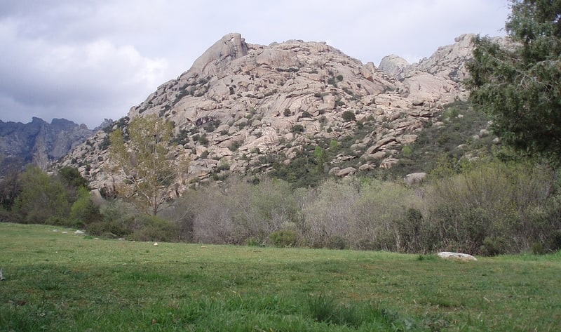
Geographical feature. La Pedriza is a geological feature on the southern slopes of the Guadarrama mountain range of great scenic and leisure interest. Access is from Manzanares el Real, a municipality in the northwest of the Community of Madrid. Geological forces have created a remarkable boulder field of strangely eroded granitic outcrops, and nearly a thousand rock climbing routes of all difficulties are available to rock climbers, making it an immensely popular locale for rock climbers, especially due to its proximity to Madrid. Hiking is also popular in La Pedriza, especially on weekends.
It is one of the largest granitic ranges of Europe and holds numerous peaks, rocky cliffs, streams and meadows. The 32 square kilometres occupied by La Pedriza lies within the Regional Park of the high river basin of the Manzanares, the largest park of the Community of Madrid. In this zone, vegetation is sparse, but there are Mediterranean shrubs like the rockrose, and alpine varieties like fabaceaes. The fauna is rich in birds of prey; the breeding colony of over 100 pairs of griffon vultures is the largest in the Madrid area.
This natural area has been the scene of some movie shootings such as El Cid, The Fall of the Roman Empire, or Conan the Barbarian.[6]
Puerto de la Morcuera
The Morcuera Pass is a mountain pass at 1796 metres above sea level, located in the Sierra de Guadarrama mountain range belonging to the Central system, within the Community of Madrid. It is the third highest mountain pass in the region of Madrid, coinciding in height with the Fuenfría.
Refugio Giner de los Ríos
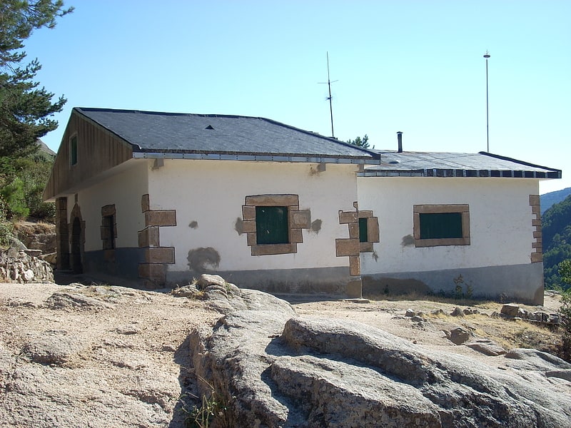
The Giner de los Ríos refuge is a guarded mountain refuge, located in the central area of La Pedriza, an area of great geological, scenic and sporting interest in the Sierra de Guadarrama.