Discover 11 hidden attractions, cool sights, and unusual things to do in Yaba-Hita-Hikosan Quasi-National Park (Japan). Don't miss out on these must-see attractions: Mount Kujū, Lake Kinrinko, and Kikuchi Valley. Also, be sure to include A sukadori dominion in your itinerary.
Below, you can find the list of the most amazing places you should visit in Yaba-Hita-Hikosan Quasi-National Park (Kumamoto).
Table of Contents
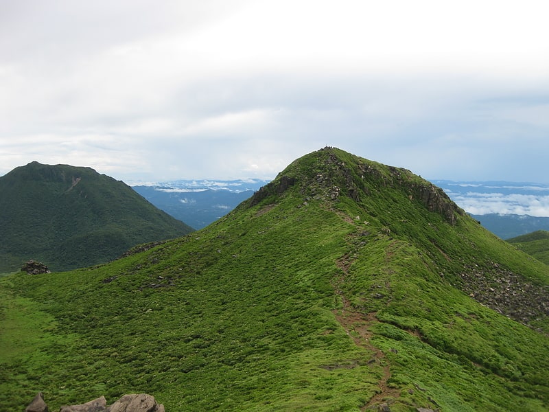
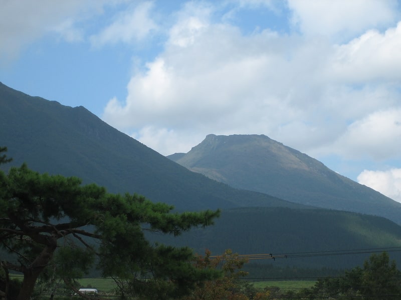
Mount Kujū
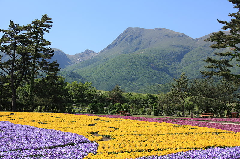
Also known as: 九重山
Mountain in Japan. Mount Kujū is the highest mountain in Kyushu Island, Japan. It is one of the 100 Famous Japanese Mountains. The 1,791-metre-high mountain lies on the border of Kokonoe and Taketa in Ōita Prefecture on the island of Kyushu. They are part of Aso-Kujū National Park.[1]
Lake Kinrinko
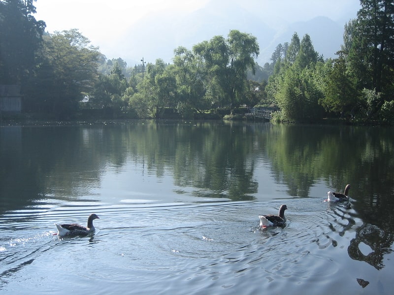
Kinrin Lake is a pond located in Yufuin Onsen, Yufu City, Oita Prefecture. It is one of the headwaters of the Oita River, and the morning mist over the pond is a representative view of Yufuin Onsen.
Address: Yufuincho Kawakami, 879-5102 Yufu
Kikuchi Valley
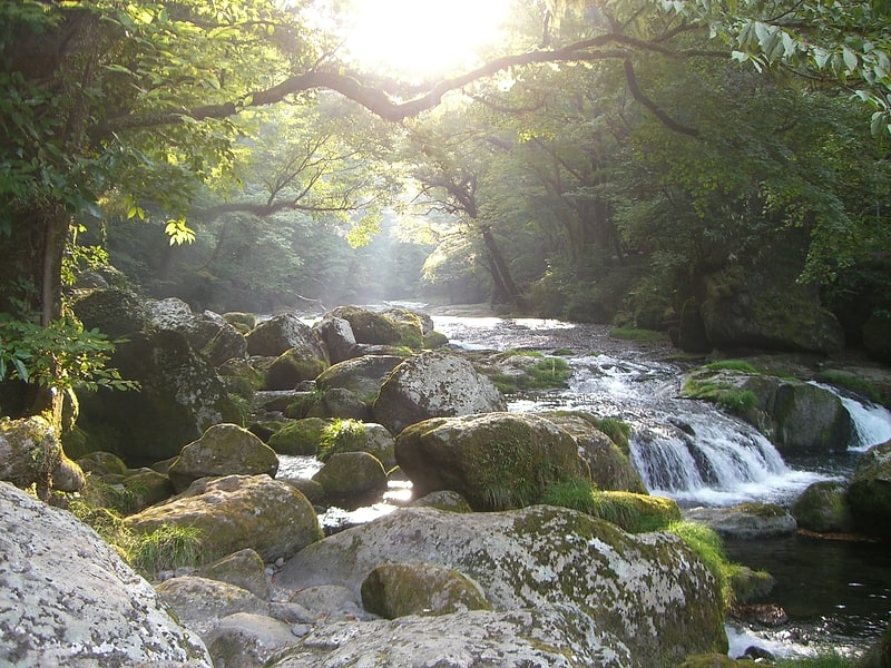
Also known as: 菊池渓谷
Tourist attraction in Kikuchi, Japan. Kikuchi Valley is the located in Aso and Kikuchi, Kumamoto cities in Kumamoto Prefecture, on the island of Kyushu, Japan. It is the source of the Kikuchi River. The valley is an area known for its resorts and autumn leaves.
The area around the outer rim of Mount Aso is concealed by fir, hemlock, elm, and broadleaf trees. Water from the Aso Kujū National Park has been chosen as one of Japan's top 100 sources of mineral water by the Ministry of the Environment. The area is home to several waterfalls, which have made Japan’s top 100 waterfalls list, and rapids.
A number of drowning accidents have occurred in the area.[2]
A sukadori dominion
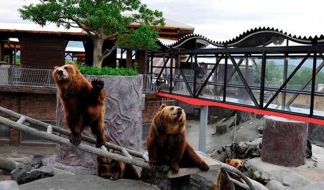
Zoo, Aquarium
Autopolis
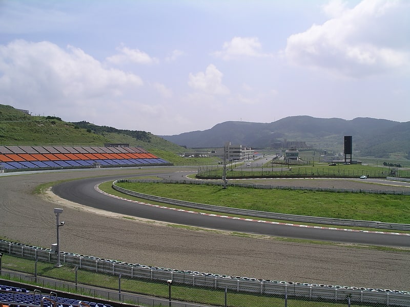
Also known as: オートポリス
Sports facility in Hita, Japan. Autopolis is an 4.673 km international racing circuit located near Kamitsue village in Ōita Prefecture, Japan on the 30 km Northeast of Kumamoto. Opened in 1990, it hosts a range of domestic and international motorsport events throughout the year. The track is noted to have a high standard of facilities and infrastructure. Due to the circuit ending up in financial difficulties, it has changed hands several times but still operates to this day.[3]
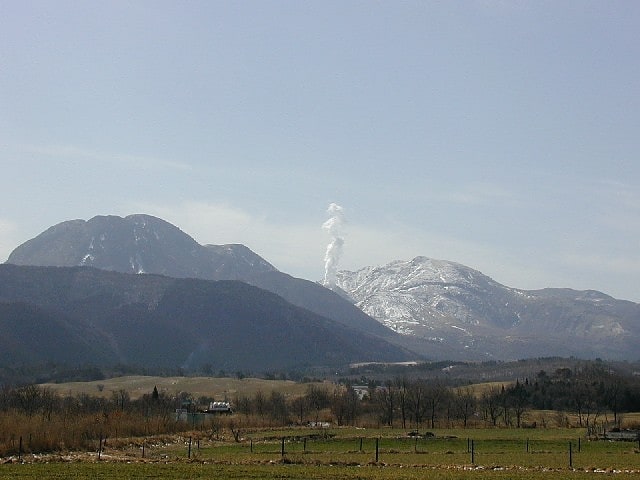
Nakadake
Nakadake is located in Taketa City, Oita Prefecture, and is one of the volcanoes that form the Kuju Mountain Range.
Taisen Zan
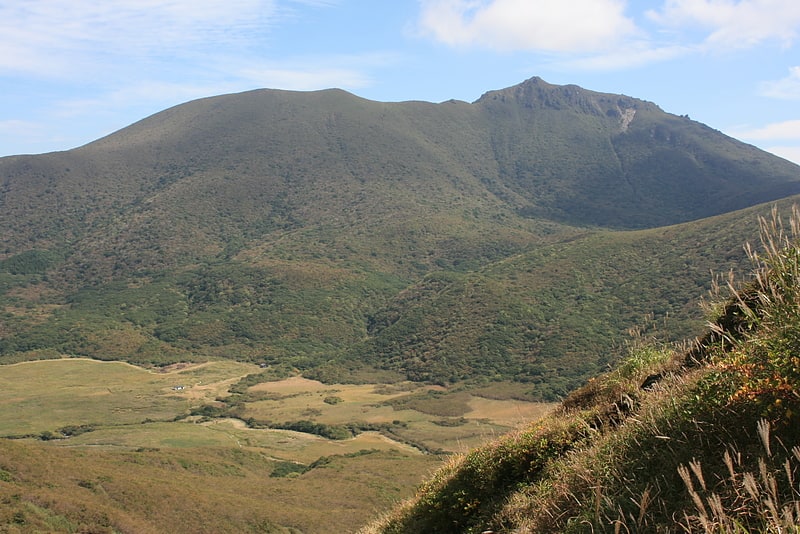
Ofunayama is located in Taketa City, Oita Prefecture, and is one of the volcanoes that form the Kuju Mountain Range. It is 1,786 meters above sea level.
Mount Mimata
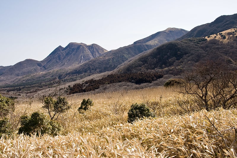
Mount Mimata is a mountain located on the boundary between Taketa City, Oita Prefecture and Kokonoe Town, Kusu County, and is a volcano that forms the Kokonoe Mountain Range.
Mount Hōsshō
Mt. Hoshio is a volcano that forms the Kokonoe Mountain Range in Kokonoe-cho, Kusu-gun, Oita Prefecture. At 1,762 meters above sea level, it is the highest peak in Kokonoe Town.
Mount Inahoshi
Mt. Inahoshi is a volcano that forms the Kuju Mountain Range in Taketa City, Oita Prefecture, Japan. It is 1,774 meters above sea level.
It is located in close proximity to Mt. Hisazumi, the main peak of the Kuju mountain range, and Mt. Nakadake, the highest peak, and is located east of Mt.
Minamiaso

Also known as: 南阿蘇村
Village in Kyushu, Japan. Minamiaso is a village in Aso District, Kumamoto Prefecture, Japan.
It was formed on February 13, 2005 from the merger of the villages of Chōyō, Hakusui and Kugino. Neighbouring towns are Takamori, Ōzu, and Nishihara.
As of April 30, 2019, the village has an estimated population of 10,535 and a population density of 77 persons per km². The total area is 137.30 km².[4]