Discover 11 hidden attractions, cool sights, and unusual things to do in Uncompahgre National Forest (United States). Don't miss out on these must-see attractions: Bridal Veil Falls, Wilson Peak, and Gilpin Peak. Also, be sure to include Sneffels Range in your itinerary.
Below, you can find the list of the most amazing places you should visit in Uncompahgre National Forest (Colorado).
Table of Contents
Bridal Veil Falls
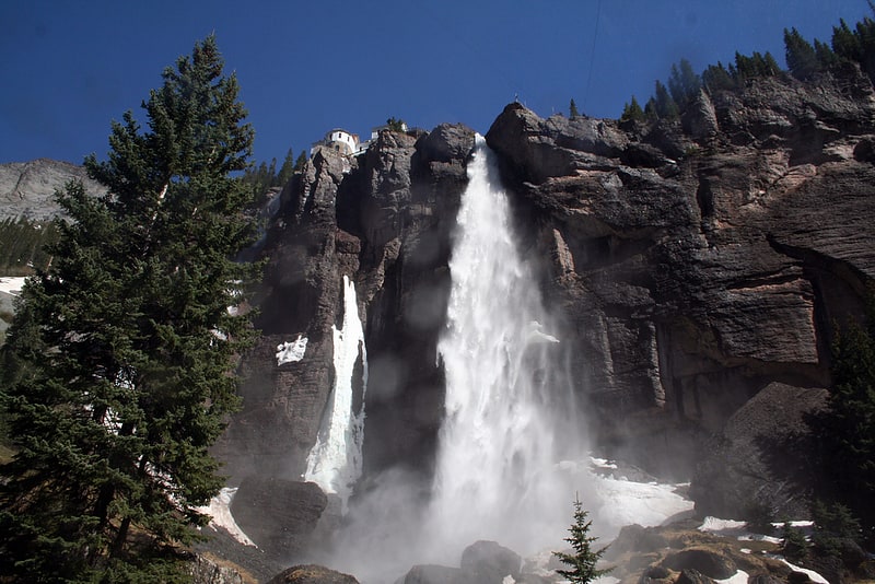
Waterfall in Colorado. Bridal Veil Falls is a 365-foot waterfall at the end of the box canyon overlooking Telluride, Colorado. Hiking and off-road trails pass by the falls and it has a hydroelectric power plant at its top. In winter the frozen shape of the falls forms an imposing challenge to intrepid ice climbers.[1]
Wilson Peak
Mountain in Colorado. Wilson Peak is a 14,023-foot mountain peak in the U.S. state of Colorado. It is located in the Lizard Head Wilderness of the Uncompahgre National Forest, in the northwestern San Juan Mountains. It is the highest point in San Miguel County.
The mountain was named for A.D. Wilson, the chief topographer with the Hayden Survey. Nearby Mount Wilson also honors him. The original indigenous name for the mountain was Shandoka, which translates to "Storm Maker", a reference to the peak's effect on local weather patterns.[2]
Gilpin Peak
Mountain in Colorado. Gilpin Peak is a high mountain summit in the Sneffels Range of the Rocky Mountains of North America. The 13,700-foot thirteener is located in the Mount Sneffels Wilderness of Uncompahgre National Forest, 3.5 miles north-northeast of the Town of Telluride, Colorado, United States, on the drainage divide between Ouray County and San Miguel County. Gilpin Peak was named in honor of William Gilpin, the first Governor of the Territory of Colorado.[3]
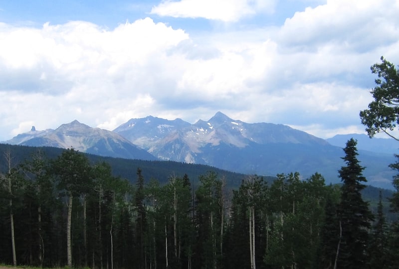
Sneffels Range
Range. The Sneffels Range, regionally conterminous with San Juans, is a young, prominent, and rugged range of mountains in southwestern Colorado of the San Juan Mountains. The Sneffels range form the southern border of Ouray County and run west to east.[4]
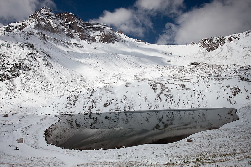
Yankee Boy Basin
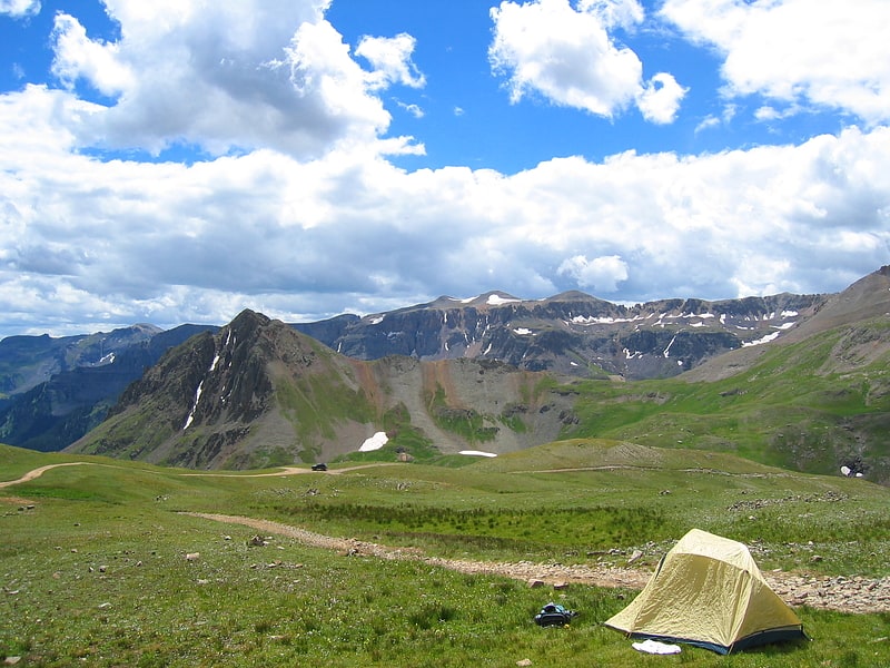
Yankee Boy Basin is an alpine basin in Ouray County, southwestern Colorado. It is in the San Juan Mountains, protected within Uncompahgre National Forest.
The basin−valley is well renowned for its display of wildflowers during the spring bloom period, and for Twin Falls on Sneffels Creek.[5]
Little Cone
Mountain in Colorado. Little Cone is a prominent mountain summit in the San Miguel Mountains range of the Rocky Mountains of North America. The 11,988-foot peak is located in Uncompahgre National Forest, 15.0 miles west of the Town of Telluride in San Miguel County, Colorado, United States.[6]
Vermilion Peak
Mountain in Colorado. Vermilion Peak is a mountain in Colorado. It is one of 637 Colorado peaks above 13,000 feet. It is located in the San Juan Range, and is the 74th highest mountain in Colorado. It is named Vermilion Peak because of the red-orange color it takes on when the sun shines on it. It is 9.7 miles ESE of Gladstone Peak.[7]
Teakettle Mountain
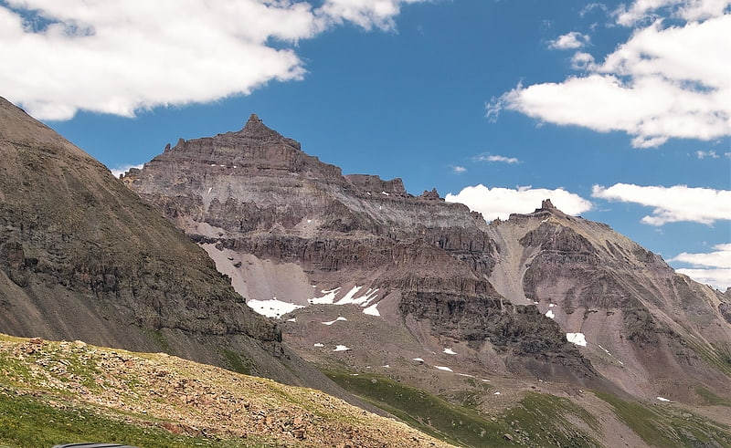
Summit in Colorado. Teakettle Mountain, elevation 13,825 ft, is a summit in the Sneffels Range of southwest Colorado. The peak is west of Ouray in the Uncompahgre National Forest.[8]
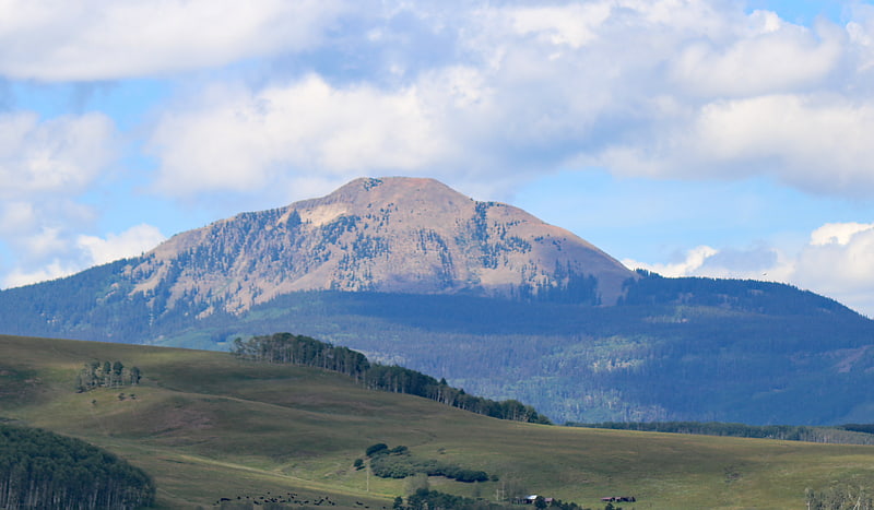
Red Mountain
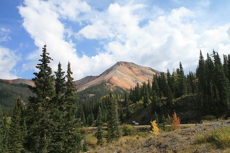
Peak in Colorado. Red Mountain is a set of three peaks in the San Juan Mountains of western Colorado in the United States, about 5 miles south of Ouray. The mountains get their name from the reddish iron ore rocks that cover the surface. Several other peaks in the San Juan Mountains likewise have prominent reddish coloration from iron ore and are also called "Red Mountain".
Nearby Red Mountain Pass is named after Red Mountain, and the ghost town mining camp of Red Mountain Town is located around Red Mountain.[9]
Smuggler-Union Hydroelectric Power Plant

Building in San Miguel County, Colorado. The Smuggler-Union Hydroelectric Powerplant, also known as the Bridal Veil Powerhouse, is an electric power generation plant and residence located next to Bridal Veil Falls on a 400-foot cliff overlooking Telluride, Colorado. The structure is 2+1⁄2 stories on a poured concrete foundation with a wood frame superstructure. It consists of a main power plant building, a 1+1⁄2-story residence and a 1-story cookhouse. The power plant foundation is distinctive, with semicircular windows. A semicircular bay with arched windows projects out on a rock spur.[10]
Fort Peabody
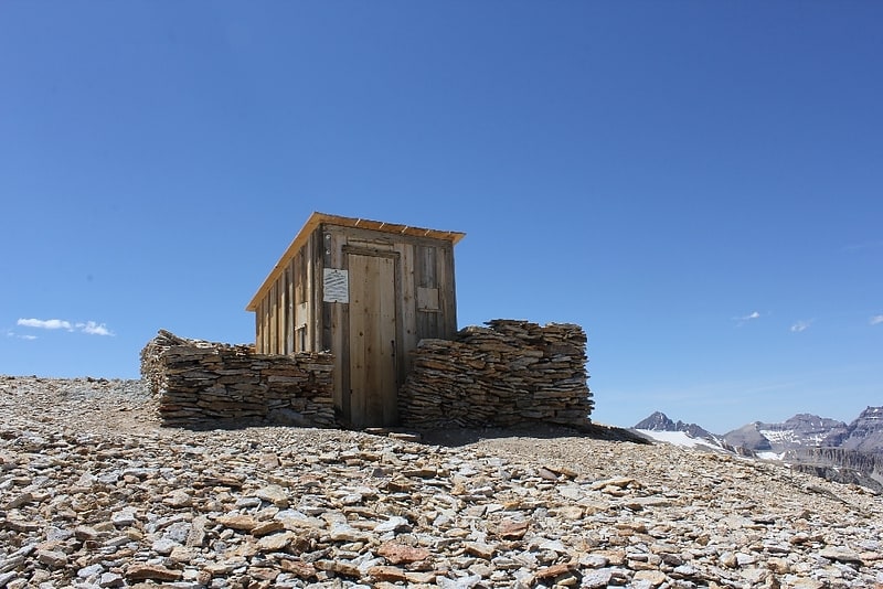
Fort Peabody was a military post in southwestern Colorado, situated at 13,365 feet elevation on the county line between Ouray and San Miguel Counties, making it the highest historical post of its kind in the United States. It was added to the National Register of Historic Places on March 30, 2005 as significant to the state and nation's labor history.[11]