Discover 11 hidden attractions, cool sights, and unusual things to do in Tahoe National Forest (United States). Don't miss out on these must-see attractions: Royal Gorge Cross Country Ski Resort, Castle Peak, and Donner Summit Historical Society. Also, be sure to include Yuba Expeditions in your itinerary.
Below, you can find the list of the most amazing places you should visit in Tahoe National Forest (California).
Table of Contents
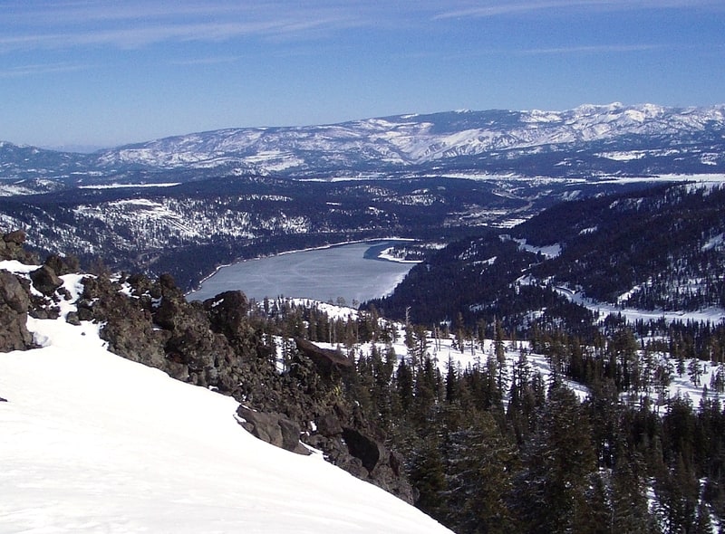
Royal Gorge Cross Country Ski Resort
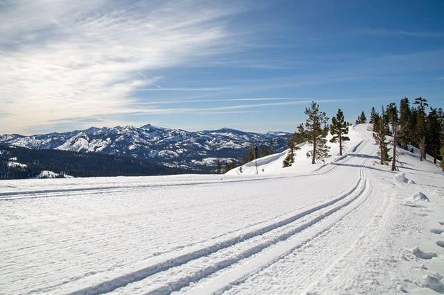
Ski resort in Soda Springs, Nevada County, California. Royal Gorge Cross Country Ski Resort is claimed to be the largest cross-country ski resort in North America. Located in Soda Springs, California, the resort offers 65 trails and about 195 kilometres of skiable terrain.
Royal Gorge Resort offers accommodations and dining locations. Rainbow Lodge is a beautiful historic lodge that dates back to the 19th century, remotely located right by the Yuba River.[1]
Address: 9411 Hilside Dr., Tahoe National Forest
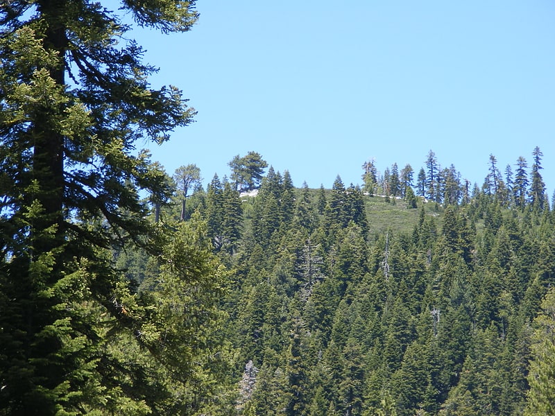
Castle Peak
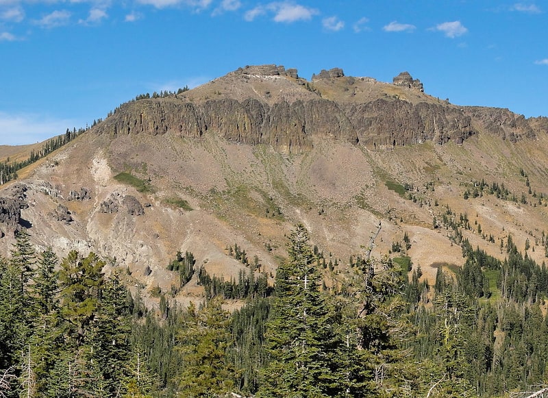
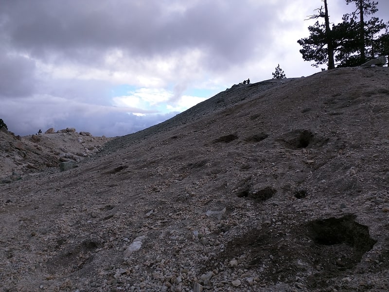
Mountain in California. Castle Peak is a mountain in California's Sierra Nevada near I-80, Donner Pass, and the Nevada border. It is in the Tahoe National Forest not far off the Pacific Crest Trail, and adjacent to Castle Pass. It was originally named Mount Stanford by the Whitney Survey of 1860–74.
Castle Peak takes its name from its conical shape.[2]
Donner Summit Historical Society
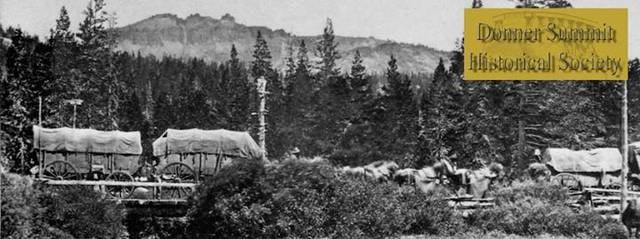
Museum
Address: 21501 Donner Pass Rd, Tahoe National Forest
Yuba Expeditions
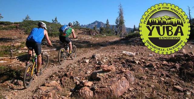
Concerts and shows, Top attraction, Bike shop, Theater
Address: 208 Main St, 95936 Downieville
Donner Memorial State Park
State park in California. Donner Memorial State Park is a state park of California, US, preserving the site of the Donner Camp, where members of the ill-fated Donner Party were trapped by weather during the winter of 1846–1847. Caught without shelter or adequate supplies, members of the group resorted to cannibalism to survive. The Sierra Nevada site has been designated a National Historic Landmark. The state park contains the Emigrant Trail Museum and the Pioneer Monument dedicated to the travelers of the Emigrant Trail.
Donner Memorial State Park is located outside Truckee, California. It has 2.5 miles (4.0 km) of hiking trails, campgrounds, and 3 miles (4.8 km) of lake frontage on Donner Lake, east of Donner Pass. The 3,293-acre (1,333 ha) park was established in 1928.[3]
Schroeder Mountain
Mountain in California. Schroeder Mountain is a mountain in the California's Sierra Nevada, on the Tahoe National Forest. It is located 0.8 miles east of California State Route 49 in Sierra County. Its elevation is 6,942 feet.
It is 2.5 miles (4.0 km) west-northwest of Yuba Pass, 1.5 miles (2.4 km) southwest of Beartrap Meadow; approx. 30 miles (48 km) northeast of Downieville. Clark Station Summer Home Tract is at the base of the mountain. It is also known by some local cabin owners as Fuzz Top due to the "fuzzy" way the vegetation appears from far away. This name has been in use since at least the 1960s.
It is a very steep and difficult climb to the top without a trail. Despite this, many cabin owners have been to Fuzz Top's summit numerous times.[4]
Beyers Lakes
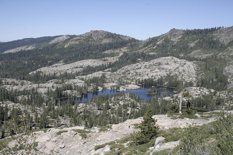
Lake in California. The Beyers Lakes are located in the Tahoe National Forest, in California.
They can be accessed via the Beyers Lakes Trail from Grouse Ridge Trail. Grouse Ridge trail can be accessed from the Eagle Lakes trailhead, off of Interstate 80, or from Grouse Ridge Campground.
They sit below the Black Buttes of Grouse Ridge, and are part of the Fordyce Creek watershed draining into Lake Spaulding.[5]
Granite Chief Wilderness
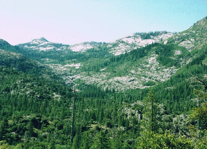
National recreation area in Placer County, California. The Granite Chief Wilderness is a 19,048 acre federally designated wilderness area of the Tahoe National Forest. Created by the California Wilderness Act of 1984, it is located in the Sierra Nevada mountains west of Lake Tahoe in the U.S. state of California. It is managed by the U.S. Forest Service Tahoe National Forest. Elevations range from 4,800 feet to 9,019 feet at the summit of Granite Chief.
Events such as the Western States Endurance Run and the equestrian Western States Trail Ride, (popularly called The Tevis Cup) cross portions of the wilderness. The Pacific Crest Trail also passes through along the east edge of the wilderness.
This region is extensively glaciated and has features such as hanging valleys, cirques and U-shaped valleys, but few lakes. Just outside the wilderness boundary there are two large recreation reservoirs, Hell Hole Reservoir to the south and French Meadows Reservoir to the west.
The Sierra Club had maintained the Bradley Hut, which was a ski hut located at the Five Lakes Basin, but in 1994 the Sierra Club was asked to remove the hut by the Forest Service as it was now inside the newly created wilderness. The hut was dismantled and relocated four miles (6 km) away. Because no mechanical equipment can be used in a wilderness, the dismantling of the Bradley Hut took until the fall of 1996 to finish.[6]
Crystal Peak
Mountain in California. Crystal Peak is a mountain in Sierra County, California. It is located on the south end of the Bald Mountain Range, 3 mi northeast of Sardine Valley and 16 mi northwest of Reno, Nevada.[7]
Oregon Creek Covered Bridge
Bridge in Yuba County, California. Oregon Creek Covered Bridge is a historic bridge that spans Oregon Creek just above its confluence with Middle Yuba River. It is located approximately 3 miles northeast of the community of North San Juan just off California State Route 49 within the Oregon Creek Day Use Area of the Tahoe National Forest.[8]
Stampede Dam
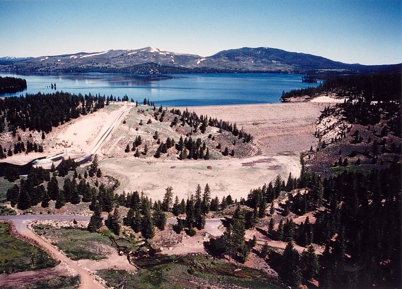
Stampede Dam is a dam in Sierra County, California, impounding the Little Truckee River.
The earthen and rock-filled dam was constructed in 1970, at 239 feet high and 1,511 feet long at the crest. It was a project of the United States Bureau of Reclamation, not primarily for flood control or irrigation storage as usual, but for fishery enhancement, primarily to facilitate the spawning of the critically endangered species cui-ui fish downstream. The dam is owned and operated by the Bureau.
The reservoir it creates, Stampede Reservoir, has a water surface of about 3,340 acres and about 25 miles of shoreline, with a maximum capacity of 226,500 acre-feet. Recreation includes fishing (for kokanee salmon, rainbow, brook, brown and lake (mackinaw) trout, etc.), hunting, boating, camping and hiking. There is an accessible viewing platform at Stampede Vista Point.[9]