Discover 11 hidden attractions, cool sights, and unusual things to do in Waterton Biosphere Reserve (United States). Don't miss out on these must-see attractions: Lake Frances, Lake Janet, and Lake Wurdeman. Also, be sure to include Stoney Indian Peaks in your itinerary.
Below, you can find the list of the most amazing places you should visit in Waterton Biosphere Reserve (Montana).
Table of Contents
Lake Frances
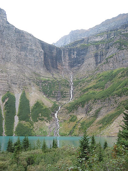
Lake in Montana. Lake Frances is located in Glacier National Park, in the U. S. state of Montana. Runoff from the Dixon Glacier empties into the south side of the lake while runoff from Thunderbird Glacier flows into Thunderbird Creek and into the east shore of the lake.[1]
Lake Janet
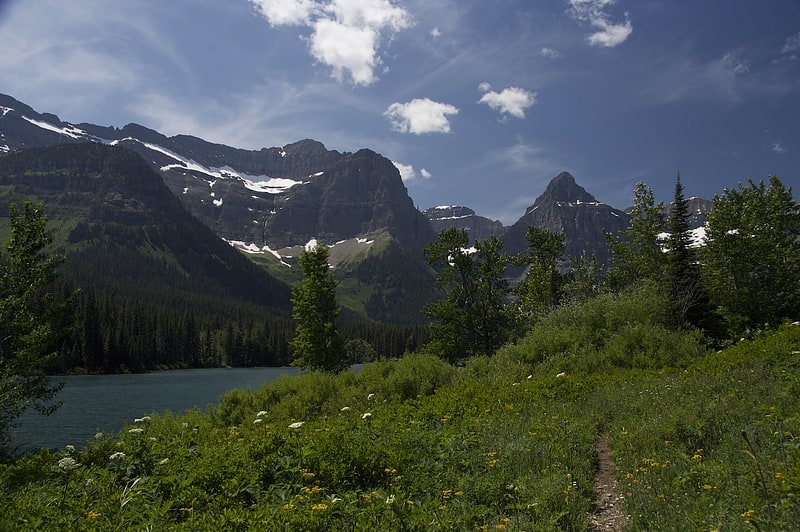
Lake in Montana. Lake Janet is located in Glacier National Park, in the U. S. state of Montana. Lake Janet is south of Olson Mountain, north of Porcupine Ridge, northwest of Citadel Peaks, and 2.5 miles southwest of Waterton Lake.[2]
Lake Wurdeman
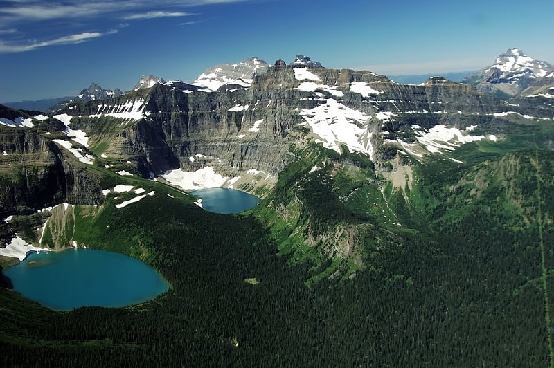
Lake in Montana. Lake Wurdeman is located in Glacier National Park, in the U. S. state of Montana. The lake is northwest of Chapman Peak and.50 miles east of Lake Nooney.[3]
Stoney Indian Peaks
Summit in Montana. Stoney Indian Peaks are located in the Lewis Range, Glacier National Park in the U.S. state of Montana. Consisting of several summits, the mountain is in the northeastern region of Glacier National Park, less than 2 miles south of Mount Cleveland. Stoney Indian Lake is south of the peaks.[4]
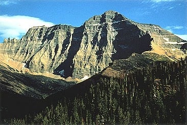
Boulder Peak

Mountain in Montana. Boulder Peak is located in the Livingston Range, Glacier National Park in the U.S. state of Montana. The remnant Boulder Glacier is situated on the northern slopes of the mountain.[5]
Campbell Mountain
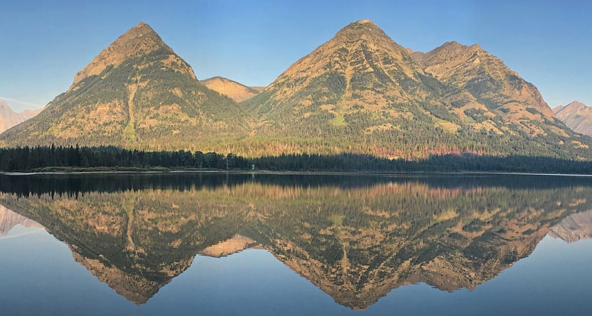
Mountain in Montana. Campbell Mountain is located in the Livingston Range, Glacier National Park in the U.S. state of Montana. Campbell Mountain rises more than 4,000 feet above the west shore of Waterton Lake. The mountain is named after Archibald Campbell, who played a role in mapping the international border.[6]
Boulder Glacier
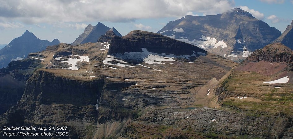
Glacier in Montana. Boulder Glacier is located in the U.S. state of Montana in Glacier National Park. The glacier is situated to the north of Boulder Peak and west of the Continental Divide. Between 1966 and 2005, Boulder Glacier lost more than 75 percent of its surface area. As of 2005 the glacier was measured to cover only 13 acres, and no longer met the 25 acres threshold often cited as the minimal area to qualify as an active glacier.
Boulder Glacier was photographed in 2007 by researchers from the U.S. Geological Survey and those images demonstrate that the glacier has almost disappeared. Earlier images taken in 1910 depict a glacier that was far larger than what was recorded in 2007.[7]
Mount Cleveland

Mountain in Montana. Mount Cleveland is the highest mountain in Glacier National Park, located in Montana, United States. It is also the highest point in the Lewis Range, which spans part of the northern portion of the park and extends into Canada. It is located approximately 3 mi southeast of the southern end of Waterton Lake, and approximately 5 mi south of the US–Canada border. The east side of the future national park was purchased by the federal government from the Blackfoot Confederacy in 1895 during the second term of President Grover Cleveland. According to the United States Board on Geographic Names, the mountain is named for the former president.
While not of great absolute elevation (the mountain is more than 2,300 ft (700 m) lower than Granite Peak, the highest peak in Montana), Mount Cleveland is notable for its large, steep rise above local terrain. For example, its west flank rises over 5,500 ft (1,700 m) in less than 2 mi (3.2 km); the northwest face, the steepest on the mountain, rises 4,000 ft (1,200 m) in less than 0.4 mi (0.64 km). The other faces show almost as much vertical relief. This scale and steepness of relief is quite rare in the contiguous United States. Mount Cleveland ranks 50th on the list of peaks in the contiguous U.S. with the greatest topographic prominence. The massif upon which Mount Cleveland is situated also includes 10,001-foot (3,048 m) Kaiser Point, which is the seventh-highest peak in the park and is only.67 mi (1.08 km) to the northeast.
The first recorded ascent of Mount Cleveland was in 1920 by Frank B. Wynn. The easiest route on the peak is the West Face route, starting from the Waterton Valley; it is a Class 3 scramble with the possibility of some short exposed Class 4 sections.
Other routes include the Stoney Indian Route, from Stoney Indian Pass to the south of the peak, first descended by noted Sierra mountaineer Norman Clyde and party in 1937; various routes on the Southeast Face; and the more difficult North (or Northwest) Face, climbed partially in 1971 and completely in 1976.
Although the peak has a relatively low fatality record, five Montana climbers were killed on the peak's west face in December 1969. The climbers were swept away by an avalanche and were not found for seven months.[8]
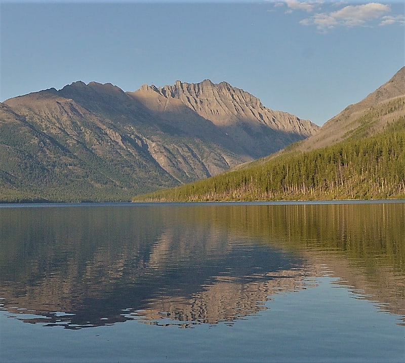
Herbst Glacier

Glacier in Montana. Herbst Glacier is located in the US state of Montana in Glacier National Park. The glacier is northeast of Mount Custer and lies above Lake Nooney at an elevation between 7,000 ft and 8,000 ft above sea level. Immediately east of the Continental Divide, the glacier covers an area of approximately 13 acres and does not meet the threshold of 25 acres often cited as being the minimum size to qualify as an active glacier. Between 1966 and 2005, the glacier lost almost 70 percent of its acreage.[9]
Lewis Range
Mountain range in Montana. The Lewis Range is a mountain range located in the Rocky Mountains of northern Montana, United States and extreme southern Alberta, Canada. It was formed as a result of the Lewis Overthrust, a geologic thrust fault resulted in the overlying of younger Cretaceous rocks by older Proterozoic rocks. The range is located within Waterton Lakes National Park in Alberta, Canada and Glacier National Park and the Bob Marshall Wilderness Complex in Montana, United States. The highest peak is Mount Cleveland at 10,466 ft.[10]
Long Knife Peak
Mountain in Montana. Long Knife Peak is located in the Clark Range, Glacier National Park in the U.S. state of Montana. Though much of the mountain slopes extend into the Canadian Province of British Columbia, the main summit is in the U.S. Long Knife Peak rises more than a vertical 1 mile above Upper Kintla Lake. It is also the most northerly peak and land area in the contiguous United States above 9,000 feet. Long Knife Peak is on an east west ridgeline identified as the "Boundary Mountains" on the USGS 7.5 minute topo quad and this extended ridge, with peak 8864, also contains the most northerly named peak and land area in the contiguous United States above 8,000 feet.[11]