Discover 4 hidden attractions, cool sights, and unusual things to do in Millersylvania State Park (United States). Don't miss out on these must-see attractions: Capitol Peak, Black Hills, and Chehalis Gap. Also, be sure to include Capitol State Forest in your itinerary.
Below, you can find the list of the most amazing places you should visit in Millersylvania State Park (Washington).
Table of Contents
Capitol Peak
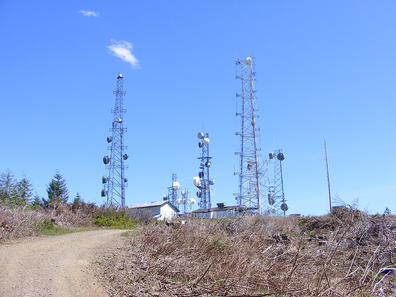
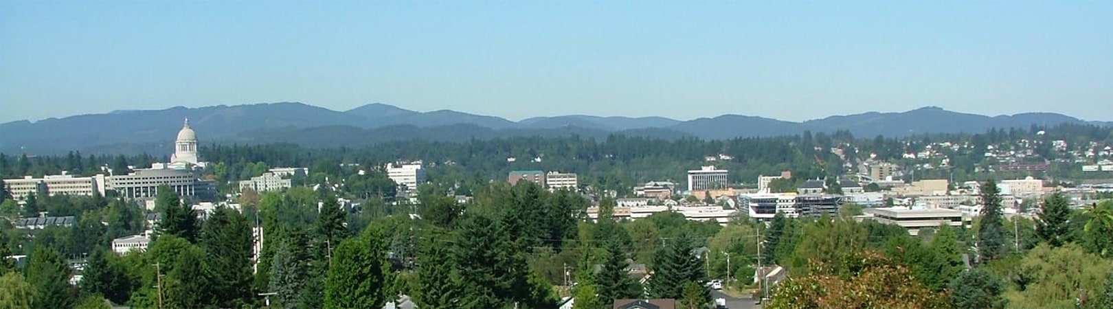
Hill in Washington State. Capitol Peak is a peak in the Black Hills in the U.S. state of Washington. It is the highest peak in the Black Hills. Capitol Peak is located in the Capitol State Forest. There is a partially paved road to the summit called the Sherman Valley Road. The summit hosts a communications facility that includes an array of cell phone and radio towers. On a clear day, looking to the west is a view of Elma and the Satsop Nuclear Power Plant. Looking to the east is a view of Mount Rainier, Mount St. Helens, Mount Adams, the Puget Sound, and the Olympia area.[1]
Black Hills
Hill. The Black Hills are a small range of hills in Thurston and Grays Harbor counties of Washington. They are a subset of the Willapa Hills. 2,664-foot Capitol Peak is the highest peak in the range.
The Black Hills takes its name from the Black River. A former variant name was "Black Mountains".
The Capitol State Forest has roughly the same boundaries as the Black Hills.
The high school A.G. West Black Hills is named for the hills, as is Black Hills Community Hospital and the local soccer club the Blackhills Football Club.[2]
Chehalis Gap
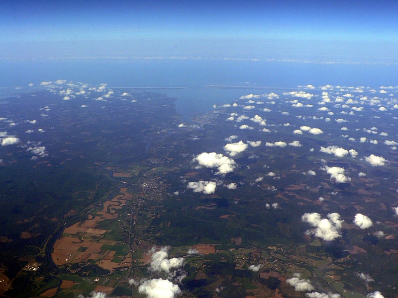
Gap in Washington State. The Chehalis Gap is a gap in the Coast Range of Washington state between the southernmost foothills of the Olympic Mountains called the Satsop Hills, and the Willapa Hills.
The gap is a major geographic feature of the northwestern United States. Other geographic features in the gap include Chehalis River, Grays Harbor, and Grays Harbor National Wildlife Refuge in its estuary. U.S. Route 12 runs through the gap from Elma near Capitol State Forest to Aberdeen on Grays Harbor near the coast, paralleled by the former U.S. Route 410 and Puget Sound and Pacific Railroad.[3]
Capitol State Forest
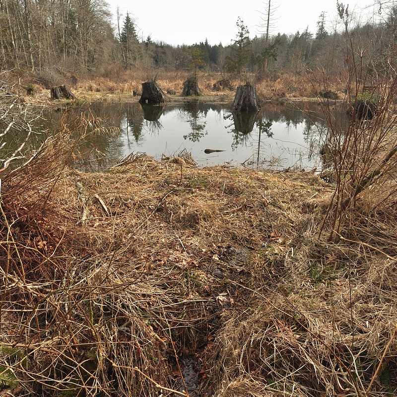
National forest in Washington State. The Capitol State Forest is a 91,650-acre state forest in Thurston and Grays Harbor counties of the U.S. state of Washington. It includes part of the unusual Mima Mounds geologic feature.
The Capitol State Forest is managed by Washington State Department of Natural Resources. It is a multi-use forest with active logging operations and is open for off-road motorcycles, mountain biking, horseback riding, and hiking. It is approximately bounded by U.S. Route 12 to the southwest, Interstate 5 to the east and State Route 8 to the north. It roughly contains the Black Hills. Topographical Relief - 600 ft (180 m) - 2,659 ft -- 575 Miles of Gravel Road
Cities and towns near its borders include Olympia, Tumwater, Littlerock, Oakville, and McCleary.[4]