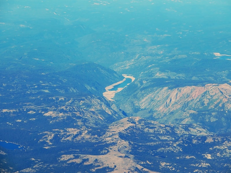
Discover 11 hidden attractions, cool sights, and unusual things to do in Eldorado National Forest (United States). Don't miss out on these must-see attractions: Sierra-at-Tahoe, Hell Hole Reservoir, and Wrights Lake. Also, be sure to include Loon Lake in your itinerary.
Below, you can find the list of the most amazing places you should visit in Eldorado National Forest (California).
Table of Contents
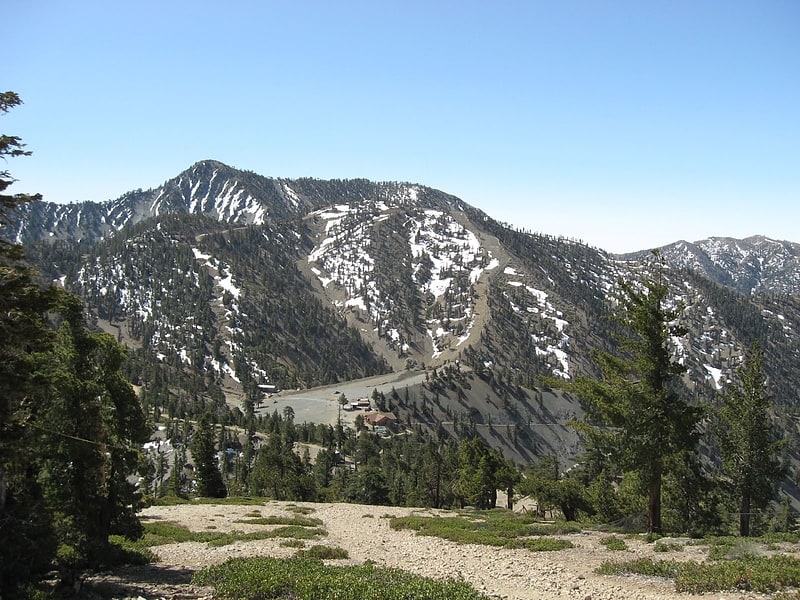
Sierra-at-Tahoe
Ski resort in Twin Bridges, California. Sierra-at-Tahoe is a ski and snowboard resort in Twin Bridges, California south of Lake Tahoe. Sierra-at-Tahoe is approximately 16 miles south of Stateline, Nevada and 12 miles south of South Lake Tahoe on U.S. Route 50 and is contained within the Eldorado National Forest. Sierra-at-Tahoe is a medium sized ski area in the Lake Tahoe region, and is well known for being a more family oriented resort and also having a high annual snowfall. Sierra-at-Tahoe's terrain is 25 percent beginner, 50 percent Intermediate, and 25 percent advanced.
The majority of the ski resorts in the Lake Tahoe region are on the northern end of the lake, near Truckee, California and Reno, Nevada. Sierra-at-Tahoe, Kirkwood and Heavenly are located on the southern side of the lake, approximately 75 miles (120 km) from Reno. It is common for visitors to ski amongst these three resorts when staying in southern Lake Tahoe area and not venture to the northern lake resorts such as Squaw Valley, Northstar at Tahoe, Sugar Bowl, which are approximately 50-70 miles away.[1]
Address: 1111 Sierra At Tahoe Rd, 95735-9505 Twin Bridges
Hell Hole Reservoir
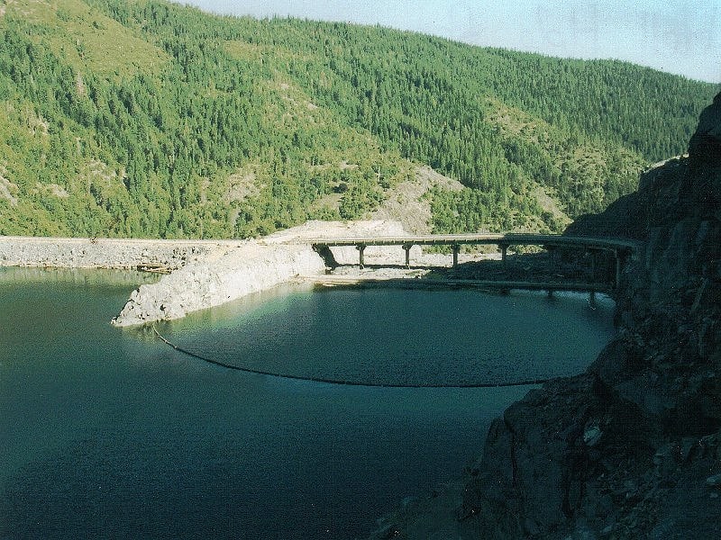
Lake in California. Hell Hole reservoir is an artificial, crescent-shaped lake in the Sierra Nevada mountain range 10 miles west of Lake Tahoe in California, United States. The lake is about 3.5 miles long when at full capacity.
The lake was created in 1966 with the completion of Lower Hell Hole Dam across the Rubicon River, which is a major tributary of the Middle Fork of the American River. Hell Hole is named for a deep canyon which is now under the waters of the lake.
How the canyon came to be named Hell Hole is a combination of folklore and speculation. An early author, George Wharton James (1858–1923), visited the canyon in 1913. He attributed the name to an unidentified miner seeking riches during the Squaw Valley mining excitement of 1862. It was "a hell of hole to get out of," James wrote, but admitted his source for the place name was more speculative than the anonymous miner's chances for riches at Squaw Valley.
James' guide for the 1913 camping expedition to Hell Hole was Bob Watson, a well-known camping guide who operated in the Lake Tahoe Region from the 1880s into the first decades of the 20th century. Watson may have been the source of the story who sought to entertain and edify his paying clients with tales of local history. James attributed much of the local lore to Watson.
The United States Board on Geographic Names attributes the first use of the name "Hell Hole" to a United States Geological Survey map of 1894. The board was created in 1890, so previous uses of the name on federal government maps are possible.
James reported finding a natural lake near the Hell Hole chasm known as Bear Lake, which would have been drowned by the reservoir. He also described Hell Hole in terms that belies the colorful name: "Hell Hole? Then give me more of it," he wrote. The author reported his pleasure of the canyon was derived from its rugged nature that precluded human exploitation: Logging, mining, water development and road building, evident in other portions of the Lake Tahoe region. It was "a paradise of delightful surprises," he wrote.[2]
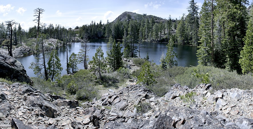
Wrights Lake
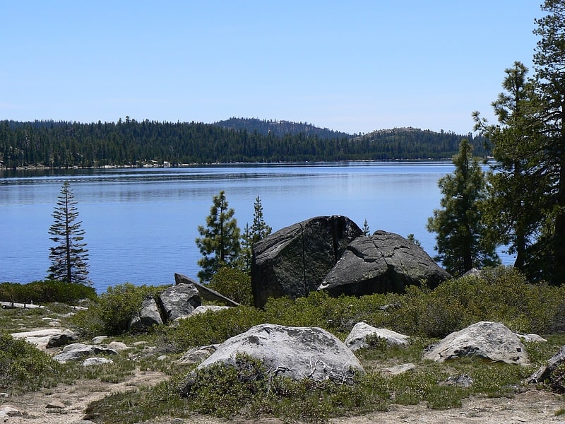
Lake in California. Wrights Lake is in the Sierra Nevada mountain range, west of Lake Tahoe on the western border of the Desolation Wilderness. It can be reached via Wrights Road off U.S. Route 50 and the Ice House Road. It provides hiking access to the western portions of the Desolation Wilderness via the Twin Lakes trailhead. Wrights Road is not plowed and is inaccessible during the winter.[3]
Loon Lake
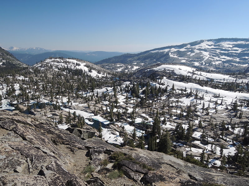
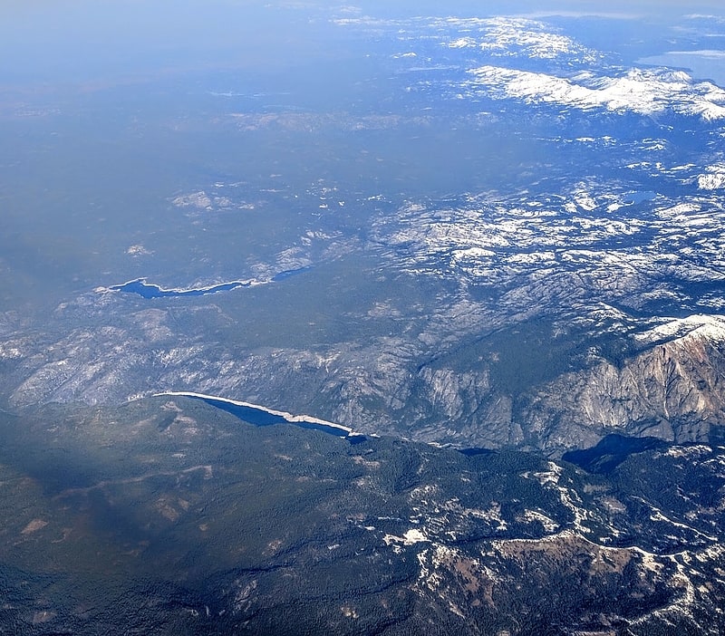
Reservoir in California. Loon Lake is a reservoir in the Eldorado National Forest of El Dorado County, California, United States. The 76,200 acre⋅ft lake is formed by Loon Lake Dam, completed in 1963 as part of the Upper American River Project by Sacramento Municipal Utility District to conserve spring snow melt runoff for use during the summer and autumn for hydroelectric power production. Loon Lake Dam impounds water at the headwaters of Gerle Creek which, prior to the dam, flowed intermittently through Loon and Pleasant Lakes. But most of the water now stored in Loon Lake arrives from Buck Island Reservoir in the adjacent Rubicon River watershed by way of the Buck-Loon Tunnel. Nearby is Loon Lake Chalet, a popular winter recreation destination. In summer, a boat ramp for water sports and camping are available, but the area is less popular than nearby Union Valley Reservoir and Rubicon Trail.
It is also known as Loon Lake Reservoir. Boaters refer to the northeast portion of the reservoir as the Pleasant Lake Arm, the portion over the inundated Pleasant Lake.[4]
Lover's Leap
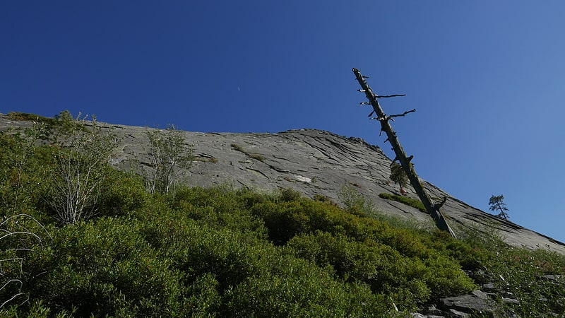
Summit in California. Lover's Leap is a steep granite cliff band in El Dorado County, California, United States, a landmark which catches the eye as one travels by, and a popular destination for climbers. The origin of its name is unknown, but common to most Lover's Leaps, one version from local folklore says two Native Americans lovers leapt to their deaths from the summit.[5]
Salt Springs Reservoir
Reservoir in California. Salt Springs Reservoir is a reservoir in the eastern portions of Amador County and Calaveras County of California in the Sierra Nevada about 30 miles east-northeast of Jackson. The reservoir is in the Eldorado National Forest at an elevation of 3,900 feet.
The 141,900 acre-foot (175,000,000 m3) reservoir is formed by Salt Springs Dam on the North Fork of the Mokelumne River. The concrete-faced rock-fill dam is 332 feet (101 m) tall and was completed in 1931. It is owned by Pacific Gas and Electric and its sole purpose is hydroelectricity production, though limited recreation is available. A short pipeline from the reservoir conveys water to the 44 MW Salt Springs Powerhouse. Some of the water is returned to the river downstream, but much of it flows into the Tiger Creek Conduit, a concrete flume that moves water downstream for use in other powerhouses in PG&E's Mokelumne River Project (FERC Project 137).
The dam has a history of settlement problems caused by poor consolidation of the rocks during construction. The concrete face has been cracked many times by the movement, causing leaks. The surface of the dam consists of cracks, craters and shotcrete overlays. It was decided to use a flexible geomembrane to cover the portions of the dam with the greatest leakage. The installation of the membrane was completed in 2005.
The dam is being examined as the lower pool in a 380-1,140 MW pumped-storage project with the Bear River Dam as the upper pool.[6]
Talking Mountain
Peak in California. Talking Mountain in El Dorado County, California is a peak in the Sierra Nevada located on the high ridge that extends eastward from the summit of Ralston Peak in the Eldorado National Forest. It is south of Lake Tahoe, south of Echo Lake and marks the border of the Desolation Wilderness. South of the summit, U.S. Route 50 follows the South Fork of the American River.[7]
Bassi Falls
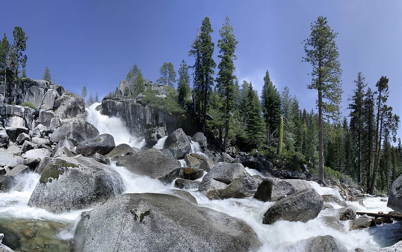
Waterfall in California. Bassi Falls is a waterfall in the Sierra Nevada mountain range, to the west of Lake Tahoe in the El Dorado County, California. It falls for 109 ft. It is off of a 5-mile 4x4 road which leads to a trailhead just 1/2 mile from the falls.[8]
Francis Lake
Lake in California. Francis Lake is a small backcountry lake in the Sierra Nevada mountain range, to the west of Lake Tahoe in the Eldorado National Forest. There are no trails to this lake. This lake is very near Loon Lake.[9]
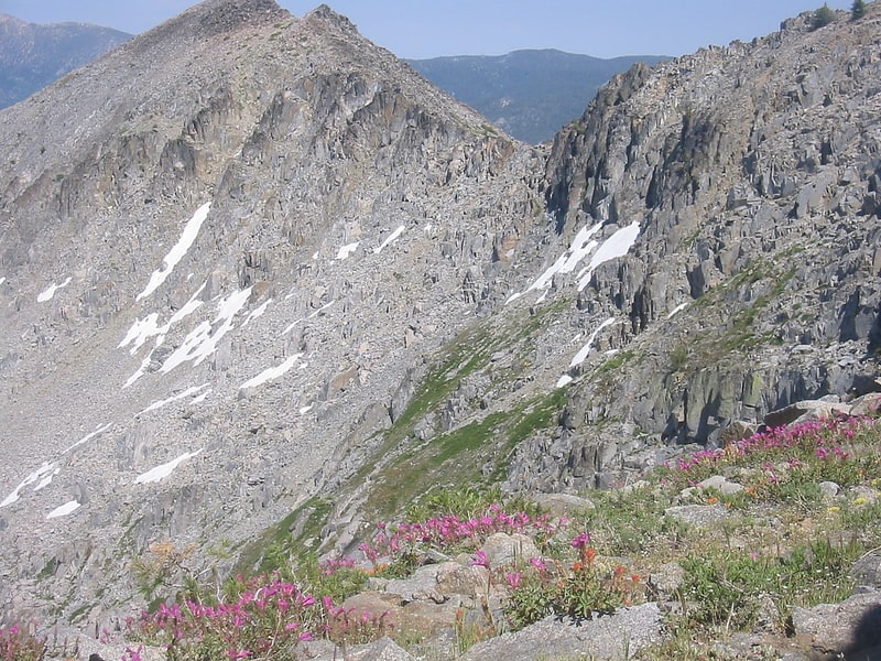
Thunder Mountain
Mountain in California. Thunder Mountain in the Sierra Nevada of California is located east of Silver Lake and west of Kirkwood Mountain Resort in the Eldorado National Forest. The mountain has two peaks, the 9,414-foot main peak and a 9,412-foot sub-peak west of the main peak. The main summit is the highest point in Amador County. Due to the high elevation, most precipitation that falls on Thunder Mountain consists of snow.
The peak was named by United States Forest Service personnel because "thunderstorms appear to build up in that area."[10]
Address: 59th Ave Between Deer Valley Rd and Pinnacle Peak Rd, Eldorado National Forest
Bear River Dam
Bear River Dam is a dam in Amador County, California, due east of Sacramento.
The rockfill dam was constructed in 1900 with a height of 83 feet (25 m), and a length of 748 feet (228 m) at its crest. It impounds the Bear River for hydroelectric power generation and municipal water supply. It is owned and operated by Pacific Gas and Electric Company, the largest private owner of hydroelectric facilities in the United States, making it one of the company's 174 dams.
The reservoir it creates, Bear River Reservoir, has a normal water surface of 149 acres (60 ha) and has a maximum capacity of 6,818 acre-feet (8,410,000 m3). Recreation includes fishing, swimming, and camping, however the Upper Bear River Reservoir can only be accessed by foot, and is mostly unused by the public.
The Lower Bear River Reservoir and its own dam lie immediately downstream and to the west, also owned by PG&E.
The dam is being examined as the upper pool in a 380-1,140 MW pumped-storage project with the Salt Springs Reservoir as the lower pool.[11]